Challenging weather conditions are likely in the Central U.S. this week, according to a weather report. Homeowners can expect renewed flooding and heavy rains as June ends.
June has experienced severe thunderstorms packed with the following weather risks:
- heavy rains
- flooding concerns
- isolated tornadoes
- hail
- lightning
According to a June 27 weather report by the National Weather Service (NWS), severe thunderstorms are possible in the northern and central Plains. Tornadoes and wind gusts reaching up to 80 mph are likely.
Central U.S. Weather Forecast: Where Will Severe Thunderstorms Unload?
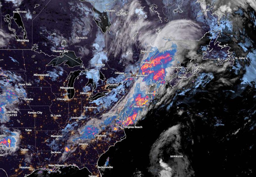
In a weather report published on June 27, severe weather potential and flooding concerns are likely in the Central U.S. this week. The rounds of heavy rains can help unload river flooding, leading to road closures and major flooding.
Next week, a possible flooding risk is expected in the following areas:
- Minneapolis
- Sioux Falls
- Des Moines
- Omaha
- Peoria
- St. Louis
- Kansas City
People in low-lying communities are the most vulnerable to river flooding or the rapid rise of floodwaters. Additionally, commuters should check for flooded roads and slower commutes due to a wet weather outlook. This rain is predicted to continue until the beginning of July.
On Wednesday night, homeowners can experience the following main concerns:
- Large hail
- Flooding downpours
- Localized damaging wind gusts
The areas at risk in midweek are the following:
- Scottsbluff
- Cheyenne
- Denver
- North Platte
- Lamar
- Folsom
- Dumas
In addition, NWS Des Moines monitors the development of severe thunderstorms packed with large hail and strong winds on Tuesday evening. In St. Louis, the forecast shows significant rainfall is forecast in the region, including in parts of the upper Midwest. Minor flooding can occur in the Mississippi River north and the Missouri River.
Meanwhile, in Little Rock, the forecast reveals rainy conditions can occur in parts of Arkansas, particularly in parts of Jonesboro and Russellville.
The severe weather can likely continue in late week. According to the forecast, severe thunderstorms can unload on Thursday in the following areas:
- Billings
- Rapid City
- Denver
- Wichita
- Omaha
- Sioux Falls
- Wichita
- Albuquerque
On Friday night, residents can still expect a flooding risk in Fargo, Duluth, Minneapolis, Sioux Falls, Des Moines, Kansas City, Springfield, Chicago, and Madison.
Central U.S. Weather Preparedness
The latest weather reports raised concerns about renewed flooding in parts of the U.S. this week, which could also bring heavy rains, hail, and isolated tornadoes. Limiting outdoor plans would be the best option, and keeping alert for the latest weather information.
For motorists, it is important to check for road conditions and forecasts before traveling, considering that the weather could bring hazardous commutes.
For more similar stories, don't forget to follow Nature World News.
© 2025 NatureWorldNews.com All rights reserved. Do not reproduce without permission.


