Fire weather zones have been reported in different areas across the states of Washington, Oregon, Utah, and California, according to a red flag warning issued by the National Weather Service (NWS) on Tuesday, July 9. A combination of fire weather conditions such as strong winds, relative humidities, and high temperatures have contributed to fire-prone environments, increasing wildfire risk.
The red flag warning was issued after several weeks of persistent heatwaves across the Western United States, especially since the start of the North American summer season in June 2024. The massive heat dome hovering over the region has also posed the risk of heat-related illnesses, which can lead to death. Based on previous US weather forecasts, wildland fires are expected to peak by August 2024.
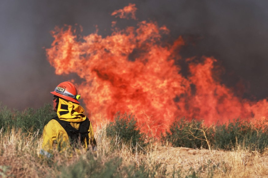
Wildland fires can occur throughout the year. However, environmental hazards like forest fires and bushfires are common during the summer months from June to August in the northern hemisphere, which includes the US and Canada. In recent years, wildland fires in both these countries have resulted in mass fatalities and destruction of agricultural lands and even homes.
Red Flag Warning: Fire Weather Zones
On Tuesday morning, the NWS issued a red flag warning for fire weather zones in the states of Washington, Oregon, Utah, and California. The fire weather alert highlights hot, humid conditions recorded since Monday, July 8. These conditions will increase the risk of ignition in shrubs, grasslands, forests, and other vegetation, especially in the outskirts of cities and towns.
In Washington, affected areas include the East Washington Central Cascades, the east portion of North Cascades National Park, and the Lake Chelan National Recreation Area.
In Oregon, affected areas include the east slopes of the Central Oregon Cascades, the Deschutes National Forest, the Central Mountains of Oregon, and the Yakama Alpine District.
In Utah, affected areas include the Central Utah Mountains and Color Country Mountains.
In California, affected areas classified by the US weather agency as fire weather zones include the Santa Barbara County Interior Mountains and the western Santa Ynez Mountains.
Western US Wildfire Risk
The weather service warned that fire weather conditions will lead to potential rapid fire growth of either existing or new fires. According to the Washington State Department of Ecology, the chances and extent of Western US wildfires is increasing due to climate change. The state government agency adds that early snowmelt in the spring results in soils and forests that are drier than average.
These weather and climatic elements add to conditions contributing to wildfire risk in the drought-stricken Western US, leading to fire weather zones. According to the NWS office in Jackson, Mississippi, fire weather consists of variables that favor fire growth and spread, below are some of them:
- Relative humidity
- Wind speed
- Wind direction
- Mixing heights
- Soil moisture
Fire weather conditions can last for hours, days, or even weeks in certain areas or regions, as observed by meteorologists in the past.
© 2025 NatureWorldNews.com All rights reserved. Do not reproduce without permission.


