Midwest and Eastern U.S. can expect potential severe thunderstorms that could bring gusty winds, heavy rains, and hail conditions, warning of possible slower commutes and hazardous travel.
The beginning of July is expected to unleash two challenging weather conditions, from scorching heat to severe thunderstorms. People should keep updated with the latest weather information and advisories, especially for affected areas.
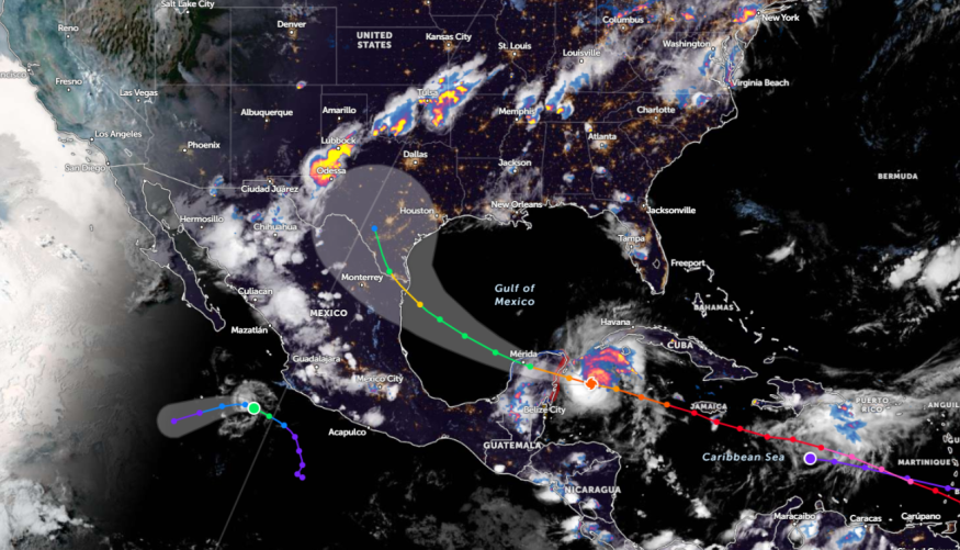
A weather report by the NWS Weather Prediction Center for July 5 to July 7 warns of a flash flood potential in portions of the Southern Plains to the Ohio Valley, including in portions of the Midwest.
Midwest and Eastern US Weather Outlook: What Can Americans Expect This Week?
The latest weather forecast monitors the potential threats of stormy outlook in the Eastern and Midwest this weekend. The first week of July is forecast to be challenging or disruptive in some locations.
Although some areas will experience sunny and scorching heat, commuters should still be aware of threats of severe thunderstorms.
On the weekend, rounds of heavy rains are likely in the following areas:
- Boston
- New York
- Washington
- Charlotte
- Jacksonville
- Houston
- Dallas
- Kansas City
- Minneapolis
People with outdoor activities for the long weekend should stay alert for concerns of the following:
- flash flooding
- hail conditions
- isolated tornadoes
- localized damaging wind gusts
On Friday night, threats of severe weather are forecast in the following areas:
- Nashville
- Charleston
- Louisville
- Indianapolis
- Fort Wayne
- Columbus
- Frederick
- Pittsburgh
- Cleveland
- Detroit
- Saginaw
- Scranton
- Albany
- Syracuse
According to a recent NWS report, severe thunderstorms are likely in the southern Plains, Central Plains, Ozarks, and upper Mississippi Valley.
On the weekend, flooding downpours and hail conditions are forecast in the following areas:
- New York
- Burlington
- Binghamton
- Washington
- Roanoke
- Columbia
- Fayetteville
In New York, the forecast monitors possible showers in the NYC metro and nearby areas. There is lightning activity in Somerville, including in northern NJ and Orange County.
On Sunday, homeowners should watch out for hail and flooding concerns in the following areas:
- Des Moines
- Dubuque
- Kansas City
- Wichita
- Oklahoma City
- Oklahoma City
- Amarillo
- Dodge City
Weather in Other Areas in the US: Where Will Severe Thunderstorms Unload?
In Kansas City, another concern is a storm potential in the region. The main concerns are lightning activities, isolated showers, and thunderstorms.
In addition, Des Moines residents can anticipate lingering storms this week. Lows are forecast to reach the upper 50s to low 60s, and scattered storms are possible.
In northern Iowa, residents should keep alert for scattered thunderstorms. The main weather risks are the following:
- hail
- gusty winds
- locally heavy rainfall
In Dodge City, residents can expect sunny conditions and breezy north winds, particularly in southwest Kansas. There is a chance that highs could reach the 80s.
For more similar stories, don't forget to follow Nature World News
© 2025 NatureWorldNews.com All rights reserved. Do not reproduce without permission.


