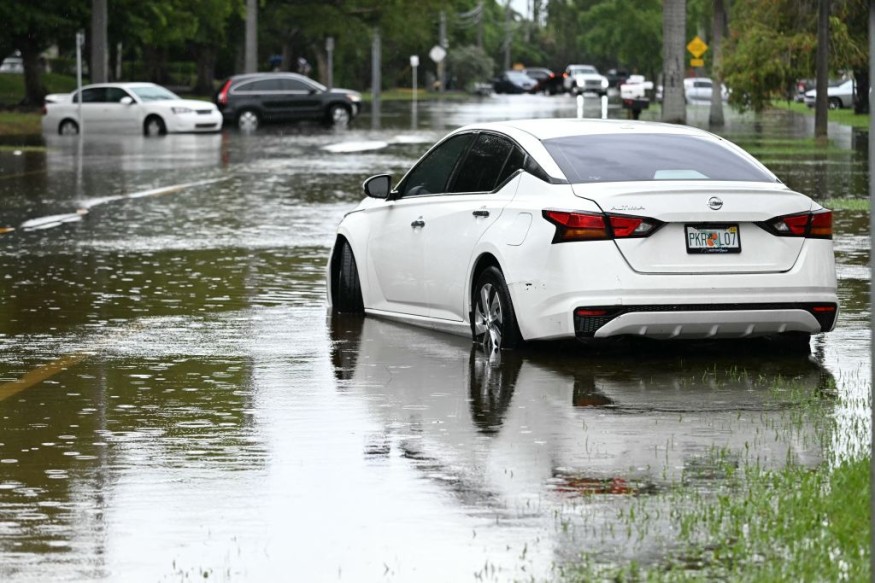
Weather experts said that thunderstorms accompanied with destructive winds, hail, and even tornadoes could affect the central portion of the United States.

Damaging Winds, Tornadoes
According to the latest weather forecast, storms packing damaging winds as well as a few tornadoes could be a risk for residents across more than a dozen states in the central portion in the next days.
Meteorologists took note that multiple weather systems would contribute as a catalyst for the threat of strong and destructive thunderstorms over the weekend.
The National Weather Service said that scattered severe thunderstorms and locally heavy rains would be evident across the Northeast, the Mid-Atlantic, and parts of the Central Plains during the evening.
Further, a developing storm system over the north and central US will result in active and stormy weather, which will have a direct effect towards the Northern and Central Plains up to the Upper Great Lakes.
Meanwhile, the first round of showers and storms associated with a leading system is forecasted to bring thunderstorm activity in various areas across the Central High Plains in the late afternoon through the overnight period.
Weather experts also said some storms could contain large hail, damaging wind gusts, and intense rainfall rates which may bring flash floods in the affected areas.
After the expected weakening overnight, the said showers could push into the Upper Midwest on Saturday, with redeveloping storms extending from the Central Plains to the Middle Missouri Valley.
On the other hand, multiple rounds of heavy rain could lead to areas of flash floods between eastern Nebraska and northern Wisconsin.
Additionally, the trailing and stronger system organizing over the Northern Plains on Saturday is seen to help produce strong to severe thunderstorms across some parts of eastern Montana and North Dakota.
Read Also : US Heatwaves: 110 Million People Threatened by Widespread Heat from Chicago to Philadelphia
Additional Rounds Of Showers, Storms
Meteorologists said that by the end of the weekend, a frontal boundary is expected to bisect the Upper Midwest and Northern Plains. This phenomenon is expected to create an additional rounds of showers and storms in the affected areas.
Based on the weather forecast, the same storm will bring at least some risk for severe weather from the northern Texas Panhandle to southern Minnesota, where thunderstorm wind gusts, as high as 80 mph, will be possible.
On the other hand, weather experts warned that a new storm, which is coming from the Canadian Rockies, is seen to bring severe weather in parts of Montana, North Dakota and the Canadian Prairies later in the day and during the evening.
When it comes to the tornado threat, meteorologists said the risk area is low, however, they added that it is not zero amid the strongest of storms.
Authorites warned that it is important for the public who have outdoor activities scheduled to be vigilant on the weather conditions and be prepared to seek shelter indoors whenever they are out of their residences.
© 2025 NatureWorldNews.com All rights reserved. Do not reproduce without permission.


