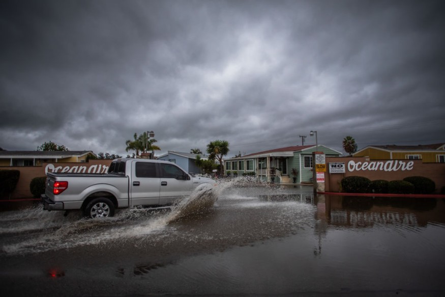
Weather experts said a severe weather condition could be felt and bring storms towards the Northern Rockies, Northern Plains and into the Midwest.
Based on the forecast, residents in these areas could experience thunderstorms. The weather condition will also threaten the areas of Chicago, Indianapolis, St. Louis, Minneapolis and Cincinnati.

Damaging Thunderstorms
Meteorologists warned that some of the destructive thunderstorms could even blow through the middle portion of the Atlantic.
They said that strong winds would be the primary danger, however, hail and tornadoes will also be possible to be felt in the affected areas.
Moreover, the weather disturbances may also bring intense lines of thunderstorms known as derechos. The National Weather Service defined derecho as a widespread, long-lived wind storm that is associated with a band of rapidly moving showers or thunderstorms.
Meteorologists explained that although a derecho can produce damage that is similar to what the strength of tornadoes can bring, the said destruction is typically directed in one direction along a relatively straight swath.
Due to this, weather experts underscored that the term "straight-line wind damage" is sometimes used to describe the derecho damage.
Officials then warned that power outages could be a danger of derechos as some outages in the hardest-hit areas can last for days.
On the other hand, extended power outages paired with building summertime heat and humidity can also result in dangerously hot conditions for residents in the affected areas.
Risk For Flash Floods
Meanwhile, the NWS noted that most of the active weather across the lower 48 can be felt across the central portion of the nation through the weekend in the form of severe thunderstorms.
This weather condition will then be a potential for flash flooding in the said area.
Further, anomalous moisture will pool in the vicinity of a pair of frontal boundaries located over the Central Plains during the evening.
Based on the forecast, severe thunderstorms are also expected to increase in coverage throughout the evening near a stationary front currently in place across Nebraska.
These thunderstorms are accompanied with threats for large hail and damaging straight line winds in addition to the tornadoes.
Weather experts mentioned that an organized thunderstorm complex is likely to form this evening and translate toward the southeast toward the lower Missouri Valley.
This is seen to carry a huge threat for flash floods among residents as well as high rainfall rates and possibly four to five inches of rain by Saturday morning.
Severe weather, composed mainly of hail and wind, and the flash flood potential will focus a little farther in the southern area on Saturday as a cold front moves through the Central Plains.
Meteorologists noted that the threat in the region would extend from the Central High Plains, through southern KS towards the middle Mississippi and lower Ohio Valleys.
Weather experts said that the spotty rainfall totals in excess of three inches will be possible in addition to the severe thunderstorms.
Related Article : US Tornado Shows to Be More Active Than Last Year, Report Shows
© 2025 NatureWorldNews.com All rights reserved. Do not reproduce without permission.


