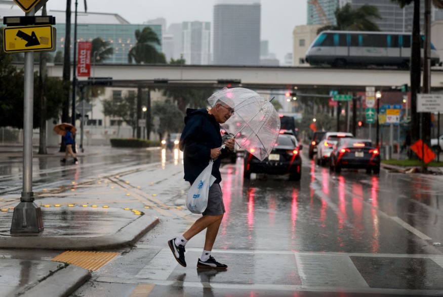
Weather experts said Florida Panhandle to the Carolinas could be at risk for flooding downpours as well as for damaging thunderstorms.
Forecasters said that a severe weather threat, which started over the weekend, would continue along the southeast coast through Monday evening.
Severe Weather, Flash Floods
They said that the severe weather from over the weekend had resulted in a large swath of downpours across Alabama, Georgia, the western Florida Panhandle and into the Carolinas.
Due to the weather conditions, several flash flood warnings were in effect with reports of street as well as river flooding.
The National Weather Service said that a new storm system would also be arriving from the Pacific Ocean for Wednesday and Thursday. This will bring in a new surge of moisture and areas of locally heavy precipitation.
Further, this will include heavy rainfall for the coastal ranges of the Pacific Northwest and down into northern California. Locally a couple inches of rain can be expected by the residents in the area.
Farther inland over the higher terrain of the Cascades, Sierra Nevada, and gradually the northern Rockies, this precipitation will fall as heavy snow.
As much as one to two feet of new snow with isolated heavier amounts can also be expected going through Thursday. The remainder of the country going through the middle of the week will be rather dry and tranquil.
Temperatures for large areas of the Midwest will continue to be above normal, with temperatures somewhat below normal for the Northeast and Intermountain West.
There will be the beginning of a surge of at least modified Arctic air from Canada by late Wednesday and Thursday into the northern High Plains.
This will set the stage for even colder temperature anomalies that are set to arrive by the latter part of the week.
On the other hand, a strong northeastern will be rapidly pushing east and away from the Mid-Atlantic coast this morning and well out to sea by later today.
Read Also : Winter Storm Bringing Heavy Snow Risk to Move from Mid-Mississippi Valley to US Northeast by Tuesday [NWS]
Storm To Bring Snow
The storm will continue to rapidly deepen and will promote areas of snow or rain changing to snow early this morning across south-central to eastern Pennsylvania, central and northern New Jersey, and southern New England.
Weather experts said that the axis of heaviest snowfall is expected from eastern Pennsylvania, including the Lehigh Valley, through northern New Jersey, far southeast New York, and southern New England.
This will include the greater New York City metropolitan area. Some areas especially over southern New England are expected to see as much as six to 12 inches of snow, with lesser amounts of three to six inches elsewhere.
Meanwhile, this heavy snow is expected to produce locally significant travel disruptions.
Strong winds are expected on the back side of the departing low center, and this coupled with the heavy, wet snow may result in downed trees and power lines which will result in concerns for power outages.
Some coastal flooding will also be possible today during high tide along the northern Mid-Atlantic and southern New England coasts.
Meanwhile, there will be a weak storm system crossing the central Plains, Midwest, and Great Lakes region on Wednesday and Thursday.
Despite the relative lack of cold air for this system to work with, there will be a swath of locally a few inches of snow, with some rain closer to the track of the low pressure center.
Related Article : Philadelphia, New York Weather Forecast: Heavy Snow To Hit This Week; Travel Disruption Possible
© 2025 NatureWorldNews.com All rights reserved. Do not reproduce without permission.


