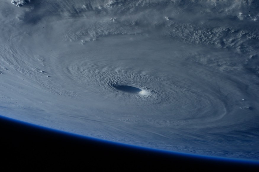
Hurricane rapid intensification is a mysterious weather phenomenon influenced by climate that has puzzled scientists for many years.
Now, a new study led by the United States National Center for Atmospheric Research (NCAR) has finally solved this mystery.
In the report, the Boulder, Colorado-based research institute found that there are two ways in which a tropical depression, storm, or hurricane intensifies into a major hurricane in a relatively short period.
In the past, rapid hurricane intensification has often led to inaccurate forecasts, which had taken meteorologists, local authorities, and the public by surprise.
For instance, the intensifying hurricanes have stronger impacts in their surrounding environments upon landfall or prior to reaching a land, as opposed to earlier forecasts about these weather systems.
Considering the new study, there could already be a possibility to determine when a hurricane will intensify.
Hurricane Rapid Intensification

Earlier this week, meteorologists were reportedly stunned after the winds of Hurricane Otis exceeded initial forecasts when it exploded to 110 miles per hour in just a span of 24 hours, wreaking havoc across the west coast of Mexico as a Category 5 storm.
Other storms in previous decades also exhibited rapid intensification such as Hurricanes Andrew, Katrina, Harvey, Irma, and Maria, causing widespread destruction.
In a new study published in the journal Monthly Weather Review in October 2023, NCAR researchers acknowledged that the rapid intensifications of tropical cyclones or hurricanes remains a "formidable forecast challenge."
This meteorological dilemma is due to the fact that the science or dynamics behind the mysterious phenomenon has not been settled yet, according to the researchers.
Due to the complexity of the matter, the researchers approached hurricane intensification as a multi-faceted event, meaning there are different forms or modes of rapid intensification.
Also Read: Tropical Storm Lidia Expected to Intensify into Hurricane, Threatens Mexico With Rough Surf
Marathon and Sprint Modes
As mentioned earlier, the NCAR study proposed that there are two ways that a hurricane or cyclone rapid intensification occurs, calling these processes as the "marathon mode" and the "sprint mode" discovered in a global convection-permitting simulation.
A marathon type of intensification has been characterized as a "moderately paced and long-lived intensification period." Meanwhile, a sprint type of intensification is described as "explosive and short-lived intensification bursts," according to the research team.
Based on the said simulation, differences between the two modes are evident in a storm or hurricane's initial vortex structure, nature of intensification, and environmental conditions.
The US-funded research institute also placed importance on recognizing the existence of multiple intensification modes to help better predict hurricane rapid intensification.
The Great Galveston Hurricane
Simulation or not, the findings by the NCAR team are grounded on previous real-world deadly hurricanes that caused unprecedented damage and fatalities.
In the US and the Caribbean Sea, the world's deadliest hurricane in recorded history occurred in the region more than a century ago, in an event called "The Great Galveston Hurricane 1900."
The mammoth hurricane had an estimated death toll of 6,000 to 8,000 people in total.
According to the National Hurricane Center (NHC), this killer weather system underwent rapid intensification by the time it reached the Texas coast, south of Galveston, in September 1900.
© 2025 NatureWorldNews.com All rights reserved. Do not reproduce without permission.


