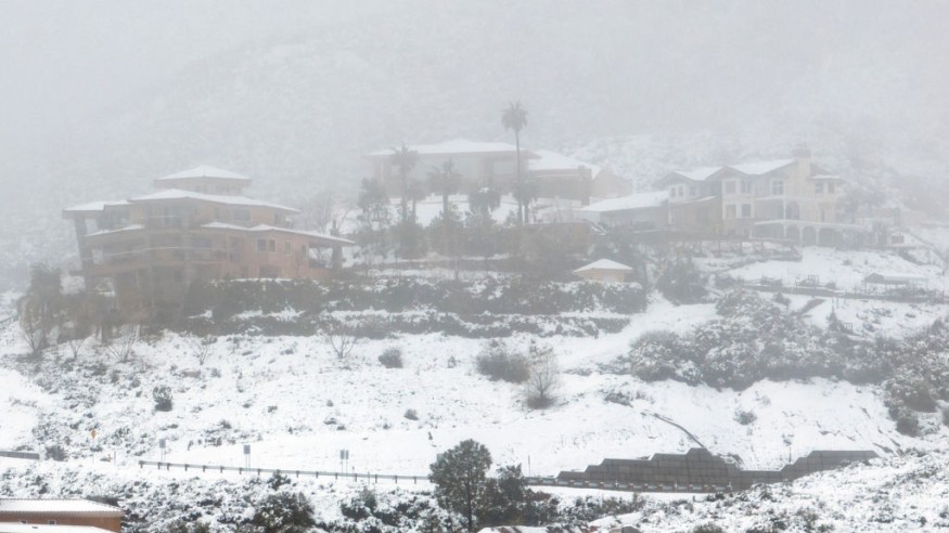
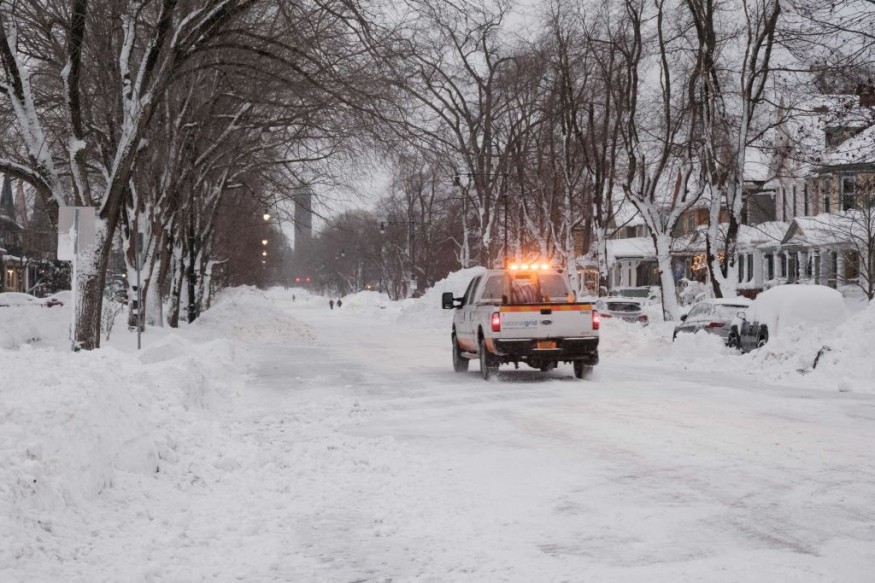
Most northern United States may experience heavy, wind-blown snow when March and April end.
According to AccuWeather experts, a storm considerably stronger might hit next week.

Weather Forecast
According to AccuWeather analysts, the northern Plains and Upper Midwest will experience another bout of snow and gusty winds later this week and into the weekend.
Strong gusts and a lot of snow will make it difficult to see for a while in many places, and from Friday night into Saturday, the Dakotas to northern Michigan may see deadly blizzard conditions
On Thursday, winter storm warnings and advisories were in place for a sizable area of the north-central United States.
The same storm is predicted to unleash a severe thunderstorm and tornado outbreak farther south, send rain to several major cities in the Northeast, and stir up winds that might knock out power across the eastern Great Lakes and Ohio Valley even after it has passed.
Even when the calendar shifts to April, many regions will continue to experience a brutal, nearly record-breaking snow season.
However, it won't mean the end of the winter weather because the area will be hit by another storm that could be even stronger the following week.
According to forecasters, the storm that will hit next week might bring more heavy snow and blizzard conditions.
Read also: Weekly Weather Forecast: Winter Storm to Cover Several US States in Snow From Rockies to Midwest
Dangerous Travel Situation

Travel is hazardous as there may be up to two feet of snow in certain areas.
As the storm intensified across the Plains, snowflakes were falling Thursday evening from sections of North Dakota east through northern Minnesota, northern Wisconsin, and the Upper Peninsula of Michigan.
This is the first of two waves of snow that will fall in this corridor.
Many people may experience a changeover to ice from Thursday night into Friday before experiencing rain.
When everything is said and done, there will be at least a couple of inches of snow throughout a substantial portion of the northern Plains and Upper Midwest.
Lesser zones-primarily in South Dakota and western Minnesota-and those extending from northern Wisconsin to Michigan's Upper Peninsula-will measure at least six inches.
The Upper Peninsula is predicted to receive the heaviest quantities, with frequent amounts above a foot and an AccuWeather Local StormMax of 24 inches.
Affected Areas
Nonetheless, the storm will also affect some major population areas and heavily used interstate routes, even if the highest snowfall totals and the risk for blizzard conditions will occur in a relatively small corridor.
The Twin Cities of Minneapolis and St. Paul, Eau Claire and Rhinelander in Wisconsin, Marquette in Michigan, and Aberdeen, South Dakota, are among the cities where travel may be challenging.
The following interstates will be affected: 29, 35, 39, 75, 90, and 94.
According to the National Weather Service, winds must be continuous or gusting to 35 mph, and visibility must be a one-quarter mile or less for three hours before an official blizzard may be called.
Both indoor and outdoor events are often packed the weekend before Easter and Passover.
Due to the recent snowfall and anticipated chilly and windy conditions after the storm, outdoor Easter egg hunts on Saturday may need to be canceled or moved indoors.
Related Article : Exposure to Major Disasters Can Cause Long-Term Mental Health Problems
For more climate and weather updates, don't forget to follow Nature World News!
© 2025 NatureWorldNews.com All rights reserved. Do not reproduce without permission.


