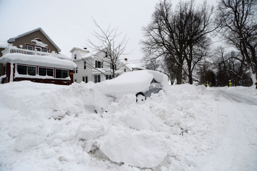
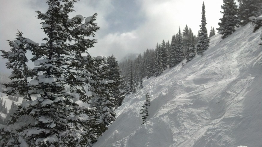
Forecasters are still monitoring the development of a powerful winter storm that is expected to blanket more than 1,700 miles of the United States with heavy, disruptive snow.

All Over the US
In parts of Colorado, Nebraska, Iowa, and Wisconsin, where snow may fall at a pace too rapid for road personnel to keep up with, experts warn that driving conditions will be challenging, if not impossible, at the height of the storm.
Tuesday, the storm that AccuWeather meteorologists have been monitoring for more than a week brought additional low-elevation rain and mountain snow to the Four Corners area. From Monday evening to Tuesday evening, Wolf Creek Pass, Colorado, received 36 inches of snow; Summerhaven, Arizona, received 19 inches; and Coal Bank Pass, Colorado, received 18 inches.
By Wednesday, the storm will be in the middle Plains before swinging northeast to the Great Lakes on Thursday.
The storm's northern edge will get a strip of dense snow as it travels. Denver, Omaha, Des Moines, and Green Bay are the major cities most likely to be located inside the snow-covered road corridor.
Weather Forecast

Until Wednesday noon, travel in and around the Denver metropolitan region is anticipated to be very difficult, particularly at the airport. Nearly 200 flights at Denver International Airport had been canceled as of Tuesday afternoon, and another 200 had already been canceled for Wednesday. Snowfall quantities in the 6- to 10-inch range are predicted by AccuWeather for the Mile High City, which may reach record levels for January.
As of Tuesday morning, there were a number of additional winter weather advisories that included Colorado, Wisconsin, and Denver, including a winter storm warning.
A first aid kit, blankets, drinks, and food should all be included in an emergency pack that drivers are encouraged to have in their cars. In late December, snowfall in the greater Denver region paralyzed traffic and trapped drivers for more than eight hours, according to CBS News.
Even though the middle of the country often experiences snow throughout the winter, several inches of snow falling over a short period is likely enough to make travel challenging, according to AccuWeather Meteorologist Mary Gilbert.
Where more than a foot of snow may accumulate, Interstate 80 may become inaccessible. The same may be said about the section of I-29 from Omaha to Sioux Falls, South Dakota. This region is the area of the Plains where snow accumulations are most likely to reach the 28-inch AccuWeather Local StormMaxTM.
The heavy snow and wind will reduce visibility, which may lead to road closures.
Gilbert predicted that Minneapolis would get a couple of inches of snow from Wednesday night through Thursday, with more major accumulation anticipated in areas to the south and east of the city. This means the Thursday morning drive into the Twin Cities will probably be slower than usual.
Snow may whiten the same land that Monday's intense storms churned up in eastern Iowa.
Meteorologists at AccuWeather predict that enough warm air will enter Chicago, reducing the possibility of wintry precipitation in the Windy City.
Sleet and freezing rain may fall from northern Kansas and southeast Nebraska to southern Iowa and the lower Michigan peninsula around the snow's south edges. With ground temperatures predicted to be nearly freezing when the precipitation arrives, untreated road and sidewalk surfaces may rapidly become slippery.
By Friday, the storm will have dissipated, leaving just a few lingering flakes throughout the Great Lakes area, while chilly, calm weather is predicted elsewhere.
Far Reaches
On the storm's southern side, as it passes across the middle of the country, downpours and strong thunderstorms are anticipated. According to AccuWeather, the latter half of the week, this storm further east may bring more snowfall and ice conditions to areas of the interior Northeast and New England.
Related Article : Exposure to Major Disasters Can Cause Long-Term Mental Health Problems
For more climate and weather updates, don't forget to follow Nature World News!
© 2025 NatureWorldNews.com All rights reserved. Do not reproduce without permission.


