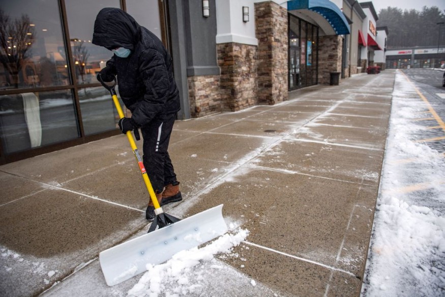
A winter-like cold front is approaching for the Midwest and Northeast. This week, the Midwest and Northeast are expected to see the season's lowest temperatures, and some snow may possibly accompany it.
Early Taste of Winter

The Northeast, which was still struggling with Hurricane Ian's aftermath in some regions at the beginning of the week, has seen frigid temperatures lately. In contrast to the average high temperatures in early October, which are close to 70 degrees, New York City has only just surpassed 60 degrees to begin the month.
However, a few warmer days might be on the way by midweek. A coastal storm offshore could keep the coast on the cold side, but temperatures might rise slightly when the sky is clearer. On Tuesday, highs in the 70s are predicted for the Midwest and the mid-Atlantic, with 60s predicted further north and east.
Temperature Change
By Wednesday, the temperature may be a few degrees higher, with forecasts calling for the 70s in the Midwest and Northeast and maybe even a few low 80s in places like Evansville, Indiana, and St. Louis, Missouri. Philadelphia's high temperatures will rise from the 50s at the beginning of the week to the 60s on Wednesday and the 70s on Thursday. A similar prognosis is for New York City and Washington, D.C.
The middle of the week may be some of the best days to enjoy the temperate weather outside for a while since, according to forecasts, an approaching cold front will quickly transform the weather and bring significantly colder temperatures by Thursday in the Midwest by the weekend in the Northeast.
The western Great Lakes will see the onset of cold air earliest. Lows Thursday night should be in the 30s in places like Chicago, Milwaukee, and Grand Rapids, Michigan, with Upper Peninsula temps in Michigan and northern Wisconsin being close or below freezing.
The chilly air will spread out by Friday night, reaching the Atlantic coast to the east. Parts of the Cleveland metro region, cities like Chicago and Detroit, and even New England should see their first freeze of the season. On Monday, the minimum temperatures in two New England cities were either matched or surpassed, with Houlton, Maine, tying a low from 2017 of 24 and Caribou, Maine, shattering a low from 1975 of 27, with a low of 26.
Temperatures in the 30s are forecast for Friday night and Saturday morning throughout the Northeast, the mid-Atlantic, and even as far south as northern Virginia.
Despite being fairly powerful, it is doubtful that this system will provide much precipitation. There won't be much moisture available, as is typical for storms that develop in Canada's interior. As a result, AccuWeather meteorologists predict that any precipitation will continue to be sporadic and light.
First Snow
The season's first snowflakes may still fall in certain regions due to the sufficiently low temperatures.
Snow may fall in the Lower 48 on Thursday night throughout parts of Minnesota and northern Michigan before moving eastward into the Northeast to start the weekend. The snow, however, is anticipated to be quite light and is unlikely to settle despite the rapid influx of cold air.
Related Article : Exposure to Major Disasters Can Cause Long-Term Mental Health Problems
For more climate and weather updates, don't forget to follow Nature World News!
© 2025 NatureWorldNews.com All rights reserved. Do not reproduce without permission.


