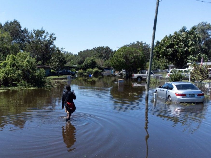
Days of miserable weather are expected along Northeast beaches due to a coastal storm. In addition to threatening to unleash catastrophic winds and flooding rain, the storm, powered partly by energy leftover from Ian, also promises to have substantial coastal effects from southeast Virginia to Long Island.

Ian finally died over the mid-Atlantic late Saturday, contributing to a bleak and gloomy start to October after leaving behind a terrible path of damage from Florida to North Carolina. The new non-tropical storm, which AccuWeather meteorologists warn will continue to produce roaring surf, coastal flooding, and wind-whipped rains from North Carolina to Massachusetts is now being tracked off the east coast of the United States. It was partially fueled by energy from Ian.
Weather Advisory
The sheer number of weather advisories in force Tuesday morning from the southwest corner of Connecticut to the Outer Banks of North Carolina demonstrated the storm's effects. The signals included small craft advisories, strong wind alerts, and coastal flood warnings.
Thanks to the storm offshore, several beaches along the Northeast and mid-Atlantic coasts will have a sustained period of strong and gusty east to northeast winds through midweek, according to AccuWeather Senior Meteorologist Dan Pydynowski.
The coastal storm will cooperate with an area of high pressure to the north, helping to direct strong winds and push additional water onto beach areas.
The good news throughout this period is that the moon phase will not further exacerbate tidal flooding. "This can lead to beach erosion and some coastal flooding at times of high tide," Pydynowski added.
Read also: Global Weirding: Humans Have Drastically Altered the Climate to the Point of Bringing Chaos
Intense Weather Ahead
Roadways can become inaccessible due to street flooding in coastal and bayside areas and in interior tidal waterways when 1-3 feet of water are inundated above ground level. The floods may cause water damage to nearby properties in certain low-lying locations.
According to AccuWeather Senior Meteorologist Alex Sosnowski, "areas prone to taking in water during winter nor'easters, such as Wildwood, New Jersey, and Norfolk, Virginia, will likely have similar circumstances during the first half of this week." "Coastal flooding issues might become worse before they get better with the storm going out to sea about midweek," according to the National Weather Service. The new part of the storm will intensify and rotate westward until Tuesday night.
Since this area will be farther away from the storm's highest winds, the chance of coastal flooding and beach erosion decreases the farther north along the coast, such as in eastern Massachusetts. However, these beaches may still experience hazardous surf conditions.
Wind gusts of 40 to 60 mph are anticipated by AccuWeather meteorologists throughout the nearby shoreline from New Jersey to the Chesapeake Bay and Virginia Tidewater areas. These blustery circumstances may destroy trees and electrical lines, leaving some areas without energy.
Locations that experience drenching rain throughout the stormy stretch may be more susceptible to some degree of wind damage. Even in a mild wind blow, trees sitting on moist soil are more likely to topple over.
Through Tuesday, as drier air moves through interior regions, the area of high pressure that will contribute to even higher winds near the coast will also serve to contain rainfall mostly south of Interstate 80 and east of I-81. Rain fell as far west as the upper Ohio Valley and the middle Appalachians throughout the weekend.
Weather Projection
The coastal storm is projected to eventually be driven out to sea Wednesday into Thursday by an approaching cold front, one of the strongest of the season thus far. According to forecasters, parts of northern New England might get the first snowfall of the season due to this surge of arctic air.
Related Article : Exposure to Major Disasters Can Cause Long-Term Mental Health Problems
For more climate and weather updates, don't forget to follow Nature World News!
© 2025 NatureWorldNews.com All rights reserved. Do not reproduce without permission.


