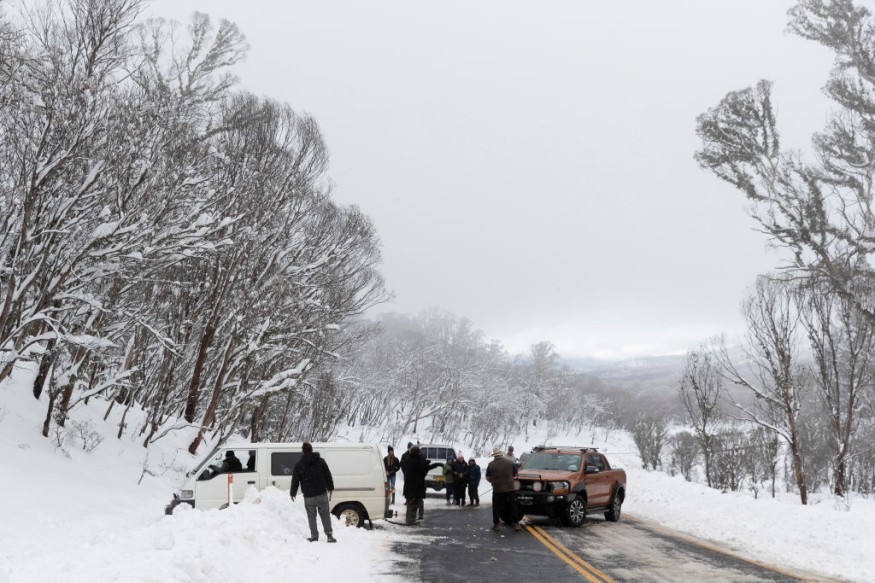
A cold front forecasted during the weekend to hit Australia this week has made its way into the country as it crosses the state of Western Australia. Australian weather authorities have updated their forecast and issued renewed severe weather warnings for damaging winds, heavy rainfall, and dangerous surf conditions.
The cold front crosses the coast of the region, communities are reportedly at risk again of the adverse weather conditions. As of Monday, 1 August, the state is expected to be continuously hit within the 72-hour period. The greatest threat posed by the system, are gale force winds which could bring a cascade of weather hazards, including flash flooding and coastal flooding.
Specifically, dangerous winds and rainfall are affecting Albany, Bunbury, Busselton, Katanning, Perth, Mandurah, Manjimup, Merredin, Moora, Mount Barker, Northam, and Narrogin. This are included in the warning issued by the Australian government's meteorological service.
The cold front update of Monday serves as the second article about the cold front forecast covered by Nature World News, with the first being on Sunday, July 31. During the first article, the country's Bureau of Meteorology (BoM) said the weather phenomenon will hit the western state this week.
Cold Front Update

As part of its cold front update, the BoM on Monday stated the tri-weather hazard only occurs once a year but is expected to continue in Western Australia at least until Wednesday, August 3.
In the previous forecast it says the weather system consists of a series of cold fronts that will consecutively strike the Australian region. With this, the bureau predicts a second cold front will move across the western coast later this week.
Rainfall and Wind Gust
Latest developments still indicate rainfall will not result in riverine flooding. Yet, it has already affected multiple areas, including York East, Gingin, and Swanbourne from morning to noon on Monday. On average, rainfall accumulation ranged between 20 to 30 millimeters.
In addition, wind gust of up to 91 kilometers per hour has been recorded in Cape Naturaliste and 81 kilometers per hour in Bickley. Geraldton Airport also recorded wind speed of up to 87 kilometers per hour on the same day.
Australia Flooding
The current weather event Western Australia is facing comes almost a month after torrential rain inundated Eastern Australia with massive flooding.
The BBC reported that local authorities have urged around 50,000 people to evacuate their homes in Sydney and other areas of New South Wales, notably the Greater Sydney Area.
Last month's inclement weather was attributed to the La Niña weather system, which brought abnormal amount of rainfall and killed over 20 people this year, most in New South Wales, the UK media outlet says.
Western Australia Cold Front
While Western Australia was relatively far from the repercussions of the said weather system, a cold front battered the region since late May all the way to early June. Other areas nationwide were also affected.
According to ABC News, the first series of cold fronts has brought rain and thunderstorms to many locations, including in the city of Perth.
© 2025 NatureWorldNews.com All rights reserved. Do not reproduce without permission.


