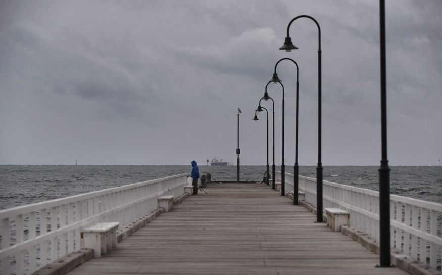
Cold front with wet and windy conditions in Australia will continue into the weekend, according to the latest forecast of Australian weather authorities.
The inclement weather continues to move into Southeast Australia, where snowfall, torrential rain, and damaging winds have been observed in some parts of the country over recent days.
This comes as Australia has entered its winter season, which approximately spans from June 1 to August 31 each year.
However, not all parts of the country experience winter weather, which mostly transpire in the snowy mountainous regions of New South Wales, Victoria, Tasmania, and other areas.
Australia Cold Front

The Australian Government's national weather agency, Bureau of Meteorology (BoM), issued an updated weather forecast for Australia on Wednesday, June 1, at 03:00 p.m. AEST (local time).
The new forecast mentioned the weakening of a wind outbreak and severe cold for Southeast Australia for Thursday, June 2.
However, the weather advisory hinted of the continuation of "further cold fronts" this coming weekend.
The winter weather has been reported to be the coldest conditions this year in the said region.
In addition, damaging winds stretch through portions of New South Wales, Victoria, and the Australian Capital Territory.
In New South Wales and Victoria, snow showers were seen even in low-altitude areas, including in Ballarat, Trentham, Mt. Macedon, Oberon, Bathurst, and Litgow. In the Australian Capital Territory, similar snowfall occurred in Brindabellas.
Similar events recorded between 20 to 30 centimeters of snowfall in other areas such as the Alphine ski resort, Mt. Hotham, Thredbo, and Perisher.
In these areas, strong winds led to blizzard conditions marked by freezing temperatures and heavy snow.
Also Read : Australia: Bureau of Meteorology Issues Storm Warnings and Flood Warnings for Lismore This Week
Heavy Rain and Wind Gusts
The BoM also issued a forecast isolated rain showers will occur across western Queensland, western New South Wales, and northern Victoria on Friday, June 3.
In this region, the cold front is expected to move South Australia, Tasmania, and western Victoria from Friday evening to Saturday evening.
Earlier this week the BoM provided a list of areas that experienced significant rainfall:
- Henty Canal, Tasmania
- Yarragon South, Victoria
- Rhyll, Victoria
- Moe South, Victoria
- Orange, New South Wales
Meanwhile, these are areas that experienced significant wind gusts:
- Hogan Island, Victoria
- Cape Grim, Tasmania
- Cape Otway, Victoria
- Bellambi, New South Wales
- Nowra, New South Wales
- Williamstown , New South Wales
- Port Philip Bay, Victoria
- Sydney Airport, New South Wales
- Frankston Beach, Victoria
The BoM also provided severe weather warning for damaging winds in the mentioned regions under its National Warnings Summary webpage.
Low-Pressure System
As part of a second low-pressure system, another burst of stronger cold front is forecasted for Australia until Sunday, June 5, bringing a new set of cold air, low-level snow, cold showers, and strong easterly winds.
This weather will be associated with below-average temperatures until next week, according to the Australian weather agency.
The system has another connotation called low-pressure area, which is used by meteorologists when it comes to weather forecasting, defining it as a storm like the most notable hurricanes and other rain, snow events, according to AccuWeather.
With this, pressure systems are created through the collision of either warm air or cold air from different regions and cause a cascade of weather hazards.
© 2025 NatureWorldNews.com All rights reserved. Do not reproduce without permission.


