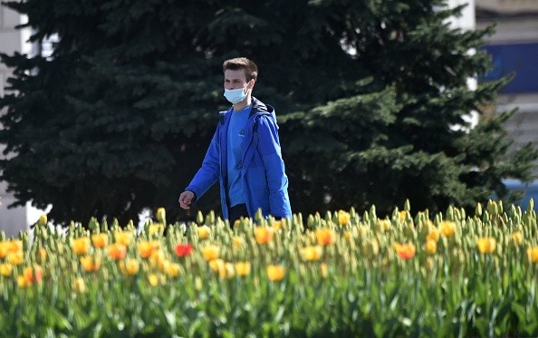
Although spring has arrived, AccuWeather meteorologists predict that the change of the calendar will not result in a protracted period of pleasant weather for several Northeastern regions, with a see-saw temperature pattern expected through the end of March.

Temperature Shift
On Sunday, March 20, at 11:33 a.m., the new season began. EDT, but not everyone in the Northeast enjoyed the warmth of spring. To finish the weekend, clouds and rain showers kept temperatures in the 40s F over the interior, with gusty conditions pushing temperatures into the 30s. On Saturday, highs were in the 60s and 70s just the day before.
Forecast
Forecasters foresee a few more days with a cold in the air until the end of the month, interspersed by milder, more seasonable days.
The first two days of the week are expected to be milder, with high temperatures hovering near or above average on Monday and Tuesday. On these days, a wind over upstate New York and New England might make it seem colder than the thermometer reading.
In late March, typical temperatures in northern New England vary from the high 30s and lower 40s to the lower to medium 60s over the Chesapeake Bay region.
Staying Dry
Much of the region will remain dry until Tuesday, while forecasts predict a small band of rain showers around the Pennsylvania-New York border on Monday night.
AccuWeather Meteorologist Brandon Buckingham stated that some high-elevation areas might see a few wet snowflakes mixed in.
The next chance for heavy precipitation and significantly colder air will occur around the middle of the week.
Trajectory
The focus will then move to a coming storm from the west on Wednesday, according to Buckingham.
This is the same storm that is expected to bring widespread severe weather to the South and snow to the Rockies and High Plains.
The combination of rain and temperatures in the 40s and 50s across the Northeast could make Wednesday a particularly unpleasant day. A breeze from the chilly Atlantic Ocean will exacerbate the rainy and gloomy weather.
Buckingham added that precipitation might begin as a wintry mix if cold enough air can be jammed into place throughout the Poconos and Catskills.
If there is any winter precipitation, it will most likely be light, with most passengers experiencing wet roads and impaired visibility due to blowing spray. For the duration of the storm, upstate New York and northern New England are the most probable places to get snow and/or a wintry mix and slick travel issues from Wednesday night to Thursday.
Due to a low cloud ceiling and damp circumstances, airline passengers flying from Washington, D.C. to New York City may experience delays.
Developing Severe Weather
Extreme weather could develop further South, from the Delmarva Peninsula through the Carolinas and into the Florida Panhandle, by midweek. The sun can burst out for a few hours in this corridor, heating the atmosphere and creating ideal circumstances for ferocious thunderstorms.
Forecasters believe that behind the storm, another blast of warm air will blow into the mid-Atlantic on Thursday. The weather pattern continues the region's up-and-down temperature tendency through the final days of March.
According to Buckingham, another storm system may plunge from Canada by next weekend, keeping the potential of a few showers and cold weather in a place over the Northeast.
Forecasters believe there might even be some snowflakes flying in the air over the last weekend of March, depending on the size of the chilly air plunging southward.
For more news about the environment, don't forget to follow Nature World News
© 2025 NatureWorldNews.com All rights reserved. Do not reproduce without permission.


