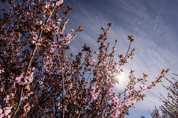
The start of the new month, according to AccuWeather meteorologists, will bring notable shifts in the weather across the Rockies and Plains.
February is renowned for being a frigid month in the United States, but some areas in its core pushed it to the next level this year. From the Rockies and Four Corners area to the southern and central Plains, average temperatures for the month were 2 to 6 degrees below normal until February 26. Temperatures in Denver were 4.6 degrees Fahrenheit below average, while temperatures in Dallas were 5.6 degrees Fahrenheit below average.
"A springlike run of warmth is in store for regions from Denver to St. Louis after a period of considerably below-average temperatures in late February," said AccuWeather Meteorologist Brandon Buckingham.
Temperature measurements began to improve over the weekend, recovering from last week's deficits of up to 40 degrees Fahrenheit. But there's a larger warmup coming up.
Change in Temperature
Temperatures are expected to return to normal in areas like Albuquerque, New Mexico, and Oklahoma City on Monday, with peak warmth approaching Wednesday or Thursday.
Temperature variations of more than 10 degrees are forecast as far north as Rapid City, South Dakota, and Omaha, Nebraska; however, the most dramatic temperature anomalies, up to 20 to 30 degrees above normal, are expected in Missouri, Kansas, and Oklahoma.
"By Wednesday afternoon, temperatures in cities like Kansas City and Oklahoma City should be in the middle 70s," Buckingham said. This is around 25 degrees above usual for early March in Kansas City. Temperatures like these are more typical of late April than the first days of meteorological spring.
Related Article : Extreme Weather Caused by Climate Change Will Drastically Impact Disease Transmission
Warming Weather
The same high pressure that will aid in the warming of the sun will also bring an extended period of dry weather to the central United States.
"An extended period of dry weather is predicted to raise wildfire worries throughout areas of Oklahoma and Kansas around midweek," Buckingham cautioned. "Brisk temperatures and low relative humidity levels will add to excellent circumstances for wildfire activity."
Parts of Texas, Oklahoma, Kansas, and Colorado, will be under severe or exceptional drought by the end of February, and the dry trend will further worsen the situation.

Shifting Weather Patterns
According to NOAA, the weather pattern is predicted to shift as the week draws close. By the weekend, the jet stream is expected to shift southward, bringing the next major storm to the region.
Next weekend, the conflict of warm air over the central United States and the entry of fresh cold air is expected to produce anything from snow and ice to severe thunderstorms.
The late-week storm's path will determine the specific location of the fiercest storms. Still, experts are now spotlighting regions of the southern and central Plains as the most likely targets for severe weather.
The region from southeastern Kansas to eastern Texas is most likely to have all of the atmospheric conditions for severe weather to develop. The intense temperature contrast and ample moisture, which is predicted to be flooding up from the Gulf of Mexico, are two such components.
Spring Pattern
A pattern like this reminds me of spring when similar elements and the possibility of severe thunderstorms are more common in locations across the central and southern United States.
For more news about the environment , don't forget to follow Nature World News!
© 2025 NatureWorldNews.com All rights reserved. Do not reproduce without permission.


