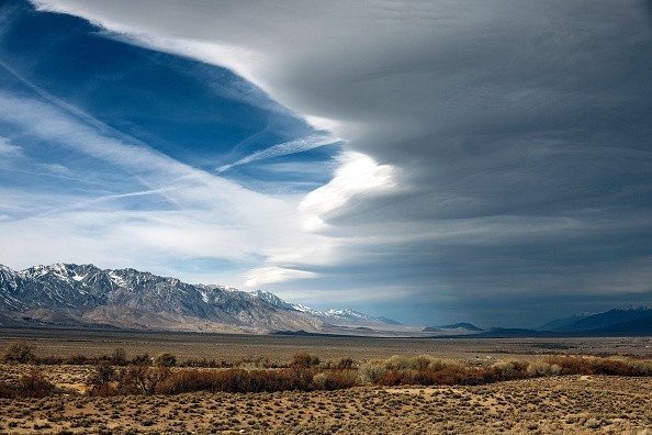
As per the National Oceanic and Atmospheric Administration's (NOAA) seasonal prediction issued yesterday, the record-breaking megadrought gripping the Western United States will certainly worsen this spring.
NOAA forecasts are predicting "protracted, severe dryness in the West where under rainfall is most expected" for the second year in a row.
For years, the West has been engulfed in a drought, and vital reservoirs have been emptied to historic lows to feed parched populations and farmland.
According to Seth Borenstein of the Associated Press, the West's forthcoming hot, dry spring will also lay the environment for worsening wildfires.
Drought in the west

Despite minimal rain and high temperatures forecast for most of the West, "it's quite probable, or makes sense, that some of the dry regions will surely grow worse," Jon Gottschalck, chief of NOAA's Climate Prediction Center, said during a press conference, as per the Smithsonian Magazine.
Some sections of the United States, notably Alaska and the Pacific Northwest, may see cooler-than-average temperatures this spring.
A brief drought has recently emerged in a region spanning North Carolina, South Carolina, and parts of Florida.
Dry weather will raise the risk of wildfires in the Southwest and southern Plains, as well as north to the Central Plains, especially if strong winds prevail.
Drought conditions are not likely to improve in the Southwest till the late summer rainstorms arrive.
More than half of the United States is expected to see above-average temperatures this spring, with the Southern Rockies and Southern Plains having the best odds.
Temperatures will most probably be below normal throughout the Pacific Northwest and southeast Alaska.
Drought summary
In the Northeast, dry conditions in New England have been slowly improving over the previous several months.
Over the week, though, a powerful storm system delivered heavy coastal rain and inland snowfall to the Mid-Atlantic and Northeast, as per the US Drought Monitor.
While rainfall quantities along the Mid-Atlantic coast were above-normal in many locations, they did not instantly alleviate soil water and river flows in areas having unusual dryness (D0) and moderate drought (D1).
Meanwhile, subsurface indications and river flow have gradually improved over the core of New England in recent weeks, resulting in a reduction in moderate (D1) and severe (D2) drought regions in Maine and northern New Hampshire.
On southern areas throughout the week, a succession of low-pressure systems tracked from across Gulf Coast states, resulting in substantial precipitation across sections of eastern Texas and the Lower Mississippi Valley, resulting in broad 1-category advances in which the greatest rains fell.
Over 5 inches of rain fell in sections of central Louisiana and west-central Mississippi.
Despite year-to-date monsoon shortfalls nearing zero in numerous sites and USGS average flow velocity nearing average, soil moisture remains in the 5th to 10th percentile of the different climatic ranges.
This shows that the drought is still firmly established in the fairly low Mississippi Valley and that further rainfall will be required to see significant improvements.
Drought persisted further west, spanning central Texas and parts of Oklahoma.
While in Midwest areas, Drought conditions were modified in areas that saw daytime high temperatures above freezing.
In western Iowa, moderate drought (D1) has been stretched slightly since standardized precipitation indicators show severe drought (D2) or worse conditions extending back 90 days and seasonal snowfall is low.
Some little D1 removal has been reported in the Twin Cities, where snow cover has been sufficient to soak into topsoils in recent weeks as the ground begins to thaw, as confirmed by NASA SPoRT soil moisture data.
D1 removal was also advised for areas of northern Wisconsin with 1 to 2 inch rainfall excesses for the water year.
Despite some lag in soil moisture, good snow water equivalent values are prevalent over much of the country.
Related article: Drought in Western US Could Last Until 2030 Due to Climate Change
© 2025 NatureWorldNews.com All rights reserved. Do not reproduce without permission.


