This New Year's storm may cause more severe thunderstorms and tornadoes in the South, spreading a snowy mess from the Rockies and Plains to the Midwest and Northeast of the United States.
Severe Weather Threat in the South
The first half of this week will see a mix of snow, rain, and thunderstorms across the Northern Plains, Upper Midwest, and Northeast, as well as soaking rain and thunderstorms in the South, according to The Weather Channel.
The New Year's holiday weekend, on the other hand, may provide a more unpredictable scenario. This week is going to be very warm for this time of year over most of the southern United States.
The wind shear and instability required for violent thunderstorms will be provided by an intense U-shaped jet stream trough swinging across that warm, humid air. Water vapor from the storm's northern edge will condense into snow and perhaps ice.
From Texas to the Ohio Valley, rain and thunderstorms are expected to become more frequent and severe on Friday night.
The lower Mississippi and Tennessee valleys might experience a more significant severe weather danger by Saturday (New Year's Day), which could linger into Saturday night.
Areas to Experience Severe Thunderstorms
According to the Storm Prediction Center at NOAA, the region from northern Louisiana to southern Kentucky, Middle Tennessee, and northern Alabama will have the greatest probability of seeing at least a few severe thunderstorms on Saturday and Saturday night.
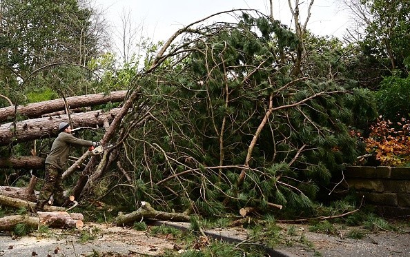
Tornadoes, hail, and damaging thunderstorm winds are all conceivable in this region. Computer prediction models aren't quite in line on precisely where the danger will be on Sunday in certain sections of the Southeast.
Heavy rain and flash floods are also predicted in the Tennessee Valley and Appalachians if this storm slows down on Sunday, as some computer models indicate is feasible.
Severe thunderstorms and tornadoes may strike at any time of year if the conditions are right
There are many methods to get severe weather alerts from the National Weather Service if you live in a high-risk region.
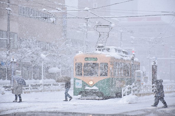
Snowfall Forecast
From the Rockies to the central and northern Plains, snow and probably sleet and freezing rain is forecast by Friday night.
It's possible that heavy snow will fall from the Missouri Valley to the western Great Lakes on Saturday. Western and northern New England may also see a wintry mix of snow, ice, and sleet from regions of western, central, and upstate New York.
Beyond that, it's considerably more difficult to make an accurate estimate.
Parts of Oklahoma, North Texas, and Arkansas, including some of the same places that basked in record warmth earlier this week, may see enough cold air arrive on the storm's western flank on Saturday night to change rain into wet snow.
Some areas of northern New England and upstate New York might get a few more inches of snow on Sunday, according to the National Weather Service. Sunday and Sunday night's rain-to-snow transition in the Tennessee Valley and Appalachians is still up in the air.
Related Article : Severe Thunderstorms Ripped Across Southern United States, Prompting Tornado Warnings
For more news, updates about severe storms and similar topics don't forget to follow Nature World News!
© 2025 NatureWorldNews.com All rights reserved. Do not reproduce without permission.


