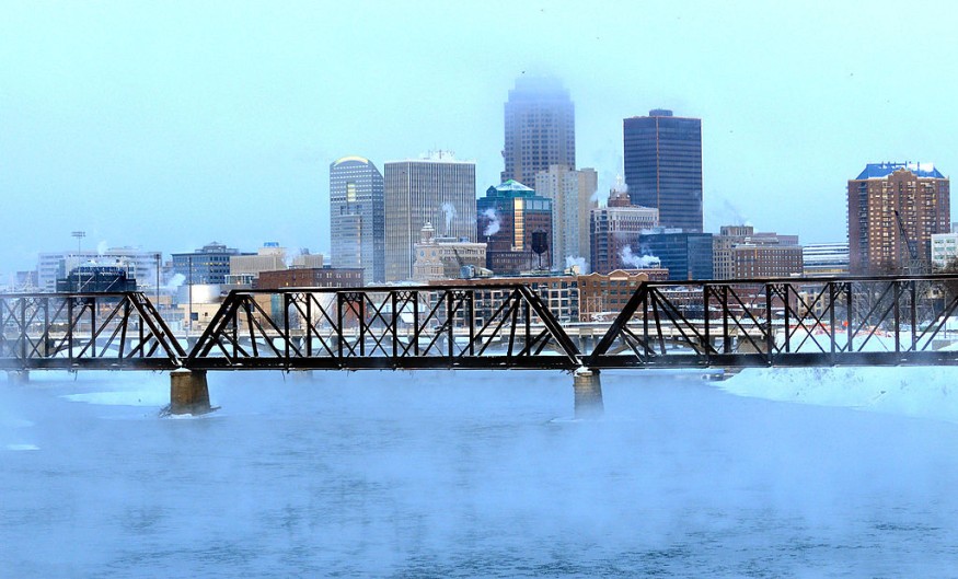
If you are from Central states, beware for frostbite as overnight temperatures will dive into the 40s at the end of the week.
Recent weather report shows major cooldown is in store for the central United States. It would deem wise to consider the severe weather condition at this time in making plans as temperatures fall to the extreme.
"A slow-moving cold front, which has been hung up across the central U.S. the past few days, will finally get the green light to move east through this weekend," said AccuWeather Meteorologist Matt Benz.

In addition, the Tropical Rainstorm Pamela could play a significant role in pulling down temperatures down across the country's midsection, bringing cool and heavy rain.
Dallas experienced an upper 80s F temperature on Thursday subsequent to a very warm Wednesday. Meanwhile, Louisiana recorded temperatures in the lower 90s on Wednesday, about 10 degrees above normal. Temperatures peaked in the mid-80s on Thursday, just a few degrees above average.
Cold front expanding in breadth eastward at the end of the week
The region is seen to experience significantly dent nighttime temperatures as the cold front moves eastward as the week ends. Low temperatures in Dallas could drop into the 40s on Friday night and Saturday night, while the city may only scrape the 70s into the weekend.
Shreveport, Louisiana will reach the same averages with highs in the lower to middle 70s and lows in the upper 40s on Saturday.
Accuweather reports severe thunderstorm in Cleveland, Cincinnati, and Evansville that could bring hail, flooding downpours, isolated tornadoes, and damaging wind gusts through Friday evening.
Drop in temperature in summer-like regions
In the farther east, "a deep, southerly flow ahead of this front will continue to make it feel more like late summer in the Ohio and Tennesse valleys. There, temperatures will run well above average with high dew points for mid-October," Benz said.
While cooler conditions expand into locations like Oklahoma City where lows are typically in the lower 50s this time of year, it will feature lows in the lower 40s on Friday and Saturday night.
Some of the biggest drops include Ohio and Tennessee valleys late in the week and early weekend, and cities like Little Rock, Arkansas, and Memphis, Tennessee.
In Nashville, Tennessee, temperatures will drop from the middle 80s on Wednesday and Thursday to the middle 60s on Saturday.
In Indianapolis, where the peak is around 80 F, temperature will dive into the lower 40s on Saturday night, over 30 degrees of difference. Even the usually-warm daytime in Indianapolis will reach only the upper 50s on Saturday.
AccuWeather Senior Meteorologist Tyler Roys said that the "Plains could even have temperatures 4 to 8 degrees below normal on Friday and Saturday, while temperatures into the Northeast will likely drop to near normal after summerlike warmth challenges longstanding records."
This cold front will be accompanied with plethora of drenching showers, rain and thunderstorms across the region, which could possibly lead to localized flooding.
However, temperatures early next week could return to above-average temperatures in Central states.
© 2025 NatureWorldNews.com All rights reserved. Do not reproduce without permission.


