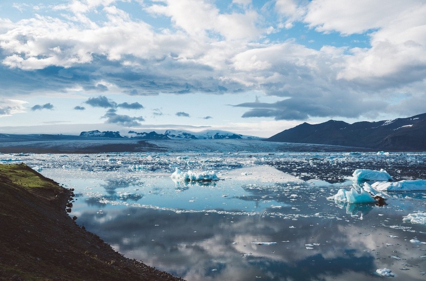
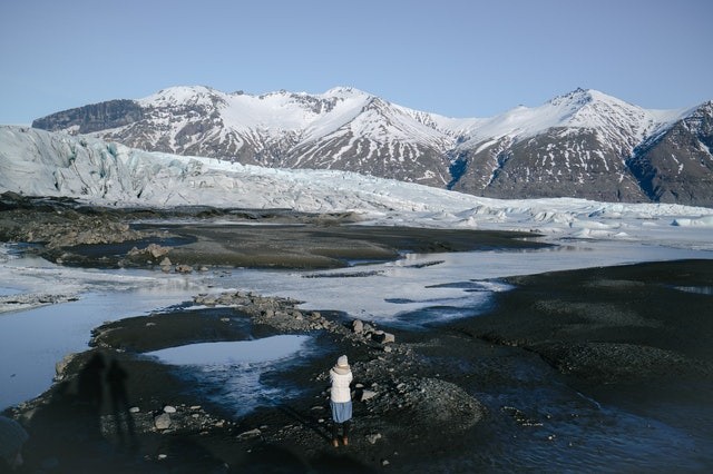
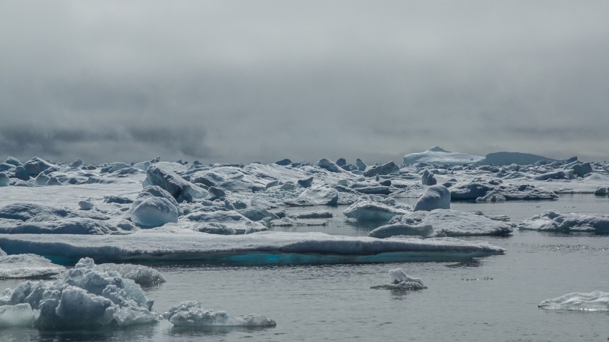
The remnants of Hurricane Larry, the unusual tropical storm to stay intact thus far north, are expected to dump up to four feet of snow on Greenland just a month after rainfall was recorded at the island's highest point for the first time.

At Kulusuk Airport on Greenland's southeast coast, hurricane-force winds gusted to above 100 miles per hour. Sustained winds of 55 miles per hour were recorded in Tasiilaq, the region's main town, with gusts exceeding 90 miles per hour.
Summit Camp, a meteorological station at the island's highest point, more than 10,000 feet above sea level, experienced blizzard conditions, with gusts and snow so intense that vision was limited.
The Danish Meteorological Institute said, "Hurricane Larry is still haunting us."
Continuing Precipitation
Winds and precipitation - rain near the coast, snow deeper inland - were predicted to continue into Monday.
The "post-tropical cyclone," the Atlantic hurricane season's longest-lasting storm, approached Greenland a day after making landfall as a Category 1 storm in Newfoundland, Canada, where it ripped down trees and knocked out electricity for tens of thousands of people.
Related Article : Melting Glaciers Due to Global Warming is Slightly Warping Earth's Crust, Scientists Warn
Cold End to a Warm Summer

The strong winds and rains on Sunday came as Greenland's scorching summer drew to a conclusion.
This year, there were three significant melts, two in July and one in August. Thus, despite not reaching the ice melt totals of 2012 and 2019, the total melt across the island in 2021 was much greater than average totals over the previous several decades.
In an interview with NPR's Here & Now, Josh Willis, a lead scientist with NASA's Oceans Melting Greenland program, said, "Any way you cut it, this is going to be one for the record books."
It is exceedingly uncommon to record even a temperature over freezing, much alone rain, at the Summit weather station, located more than 10,000 feet above sea level.
Historical Rainfall
So the rain in August - a continuous drizzle that lasted many hours rather than a single shower - was the first since the weather station was established in the 1980s. Likewise, this summer's melt was just the fourth ever documented there, three occurring in the previous decade.
Willis, who flew over the damaged region immediately after the thaw last month, said, "There were enormous lakes, hundreds of small rivers moving this water around." "Our pilot, who has been flying over Greenland for over a quarter-century, said he'd never seen something this huge, this high on the plateau this late in the year."
Climate Change and Greenland's Ice

Climate change manifests itself through higher temperatures and longer-lasting hurricanes.
Between 1979 and 2006, summer melt increased by 30% on Greenland's ice sheet, the biggest in the northern hemisphere. According to the National Snow and Ice Data Center, higher elevations have received more snowfall, but not enough to balance the melt.
"In the last 15 years or so, Greenland has melted enough ice - 5 trillion tons - to raise world sea levels by almost an inch, a small fraction of an inch," Willis said. "What's going on here has a global impact."
For more environmental news, don't forget to follow Nature World News!
© 2026 NatureWorldNews.com All rights reserved. Do not reproduce without permission.


