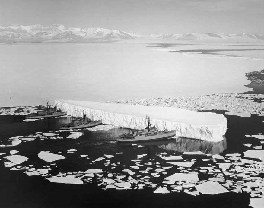
According to new research, the melting of ice from glaciers and landmasses like Greenland and Antarctica forces the Earth's crust to flex slightly.

Melting Glaciers and Ice Sheets
According to a study published last week in the journal Geophysical Research Letters, when ice sheets and glaciers melt throughout the world and water is redistributed to global seas, the Earth's crust is released from the overlaying weight and lifts.
According to the study's authors, including Sophie Coulson of Harvard University in the United States, this melting might result in a complex pattern of three-dimensional (3D) movements at the Earth's surface, even in areas over 1,000 kilometers distant from the ice loss.
"We show that melting of the Greenland Ice Sheet and Arctic glaciers has generated considerable horizontal and vertical deformation of the crust that spreads throughout much of the Northern Hemisphere, rather than being limited to regions of ice loss," the researchers stated in the paper.
Crust Deformation
Throughout most regions of Canada and the United States, the research anticipated crust deformation of 0.05-0.3 mm per year, with deformation of 0.05-0.2 mm per year in Europe, including parts of Fennoscandia, Finland, Norway, and Sweden.
Future study on crustal bending due to glacier melting is needed, according to climate researchers, to enhance both horizontal and vertical data produced by navigational satellite systems.
Rapid Melting

According to recent research, the rate of glacier melt has "doubled over the past two decades," considerably quicker than previously thought or recorded.
The researchers used several NASA satellite datasets dating back to 2000 in their study, published in the journal Nature.
According to the authors, it's been challenging to get reliable glacial melt or glacier mass loss measures. Only a few hundred of the approximately 200,000 glaciers are frequently monitored since they are typically situated in highly remote or inaccessible areas.
Massive Ice Loss
They were able to show that glaciers lost about 5,073 gigatonnes of mass (or 11,180,000,000,000,000 pounds) between 2000 to 2019 by using NASA satellite information. That's about the same as 553,465,346 Eiffel Towers.
According to the authors, the pace of glacier melt increased from an estimated .36 meters per year to .69 meters per year between 2000 and 2019.
As a result, scientists assume that glacier melt has led to a 21 percent increase in sea level since 2000 or about a quarter inch.
They observed that Alaska, western Canada, and the United States had the fastest increases in glacier melt. For example, between 2015 and 2019, glaciers in New Zealand are thought to have melted at nearly seven times the pace they did at the beginning of the century.
Global Warming
According to experts, melting global glaciers is one of the most immediate effects of a warming world and one of the major markers of climate change. Although the scientists did not investigate the source of glacier melting, they did note that locations where glaciers shrank, saw changes in long-term precipitation and temperature, which are consistent with climate change.
The 11 authors noted that by estimating glacier melt rates, they expect to make more precise forecasts for sea-level rise and water management.
For more environmental news, don't forget to follow Nature World News!
© 2025 NatureWorldNews.com All rights reserved. Do not reproduce without permission.


