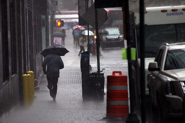
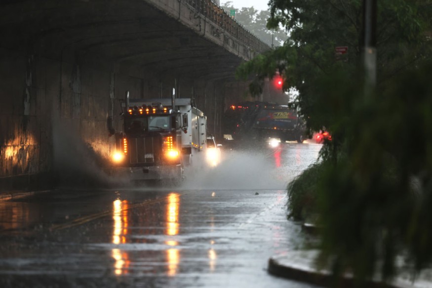
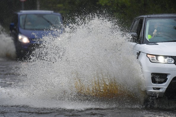
On Monday, the floodgates opened over the Philadelphia metro region, with a torrent of rain shutting down roads, forcing several water rescues, and dumping up to 10 inches of rain in one town.

As storms came in, the National Weather Service in Mount Holly, New Jersey, issued a flash flood warning for Levittown and Croydon, Pennsylvania, and Burlington, New Jersey, at 5 p.m. EDT. Some locations on the map have received roughly a foot of rain in only a few hours.
"Slow-moving thunderstorms drove by a virtually stationary front, tropical moisture, and 90-degree plus temperatures poured astonishing quantities of rain in a matter of hours, with significant flash flooding," AccuWeather Senior Meteorologist Dave Bowers said.
Update: Philadelphia Police have reopened Route 63/Woodhaven Road. Please continue to use caution if traveling, especially at night in darkness. https://t.co/449YE4pcVf
— Philadelphia OEM (@PhilaOEM) July 13, 2021
Wreaking Havoc

The storm wreaked havoc on several cities in Bucks County. Croydon, Pennsylvania, received more than ten inches of rain. According to the Bensalem Fire Rescue, first responders responded to multiple flooding occurrences just a few minutes away in Bensalem.
According to the NWS, the flooding was a 100-year flood event. However, a 100-year flood, according to the United States Geological Survey, does not indicate that a flood of this magnitude happens just once every 100 years. Instead, flooding of the scale that occurred in the Philadelphia suburbs has a 1% probability of occurring each year, suggesting a 100-year flood event might happen twice in two years.
The downpour did not spare the City of Brotherly Love, located to the south of the county.
Heavy Rain

On Monday alone, Philadelphia received nearly 5 inches of rain, causing officials to block flooded highways. For example, route 63 was shut down at 6 p.m. EDT on Monday night before reopening later that evening.
Motorists should use caution when traveling, especially at night, according to the Philadelphia OEM.
According to the National Weather Service, Philadelphia International Airport received 4.35 inches of rain through Monday, which is the usual amount for the whole month of July.
Storm Forecast

According to the Storm Prediction Center, some of the heaviest thunderstorms that saturated the region also brought damaging winds. Many reports of tree and power line damage flooded from southeastern Pennsylvania and central New Jersey.
Forecasters expect no change in the weather pattern through Wednesday, as a tropical air mass stays in place, with temperatures in the lower 90s with anticipated thunderstorms each afternoon and evening.
Toppling Trees
According to Bowers, considering the amount of rain that has already fallen over the region, further flash floods are possible. Furthermore, the most powerful storms can bring severe gusts that can destroy tree limbs and electrical lines.
Even with a mild blast of wind, trees resting on moist soil are significantly more susceptible to being toppled.
"Thursday should be a dry day," Bowers added, "before a front brings a fresh danger of severe thunderstorms Friday and into the weekend."
For more climate and weather updates, don't forget to follow Nature World News!
© 2025 NatureWorldNews.com All rights reserved. Do not reproduce without permission.


