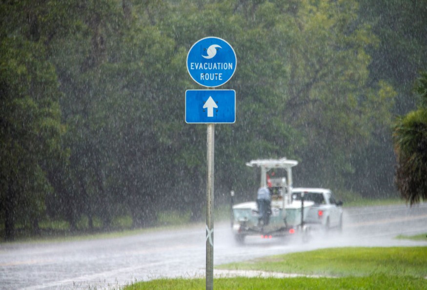
A strong storm system capable of creating a tornado passed over the El Paso and Las Cruces areas Sunday night, bringing 70 to 90 mph wind gusts, flying dust, heavy rain, intense lightning, and huge hail as well as heavy rain, powerful lightning, and large hail.
This storm also caused a massive power outage that affected more than 17,000 El Paso Electric customers.

Severe Thunderstorms

Severe Thunderstorms on Multiple Occasions Weather warnings were in place in the El Paso and Las Cruces regions until approximately 9:15 p.m., when circumstances began to ease.
About 17,000 El Paso Electric customers across the Borderland lost power as a result of what ABC-7 chief meteorologist 'Doppler Dave' Speelman described as a "monster storm," a massive tree on the New Mexico State University campus was among many uprooted, and there were scattered reports of hail damage and flooded roads throughout the region.
Power Interruption
About 3,500 people were still without power Monday morning, according to EPE. However, crews were "working as swiftly and safely as possible to restore electricity," according to the utility. According to the EPE's outage map, the 17,000 dispersed power outages that occurred during the storm spanned Dona Ana County to El Paso County.
Related Article : Destructive Tornado Sweeps Through Chicago Overnight, Damaging More Than 100 Homes
Damages

A felled tree stopped traffic near Country Club Road and Montoya in west El Paso, in addition to the uprooted tree on the NMSU campus; city personnel worked late into the night to attempt to get that tree removed.
After a multi-vehicle pileup near Lordsburg, Interstate 10 westbound was blocked due to 60 mph wind gusts and limited visibility due to blowing dust.
U.S. 70 in the Las Cruces region was one of the highways that were heavily inundated. According to the New Mexico Department of Transportation, it was blocked from milepost 160 to 170, a region known as the "San Augustine Pass," which claimed it was inaccessible and would be closed until further notice. NM 28 from milepost 0 to 14 in Anthony was also inundated with debris.
The National Weather Service issued a Flash Flood Warning for El Paso and Dona Ana counties through 11:30 p.m. Sunday. According to ABC-7 StormTrack Doppler Radar estimations, up to 1.9 inches of rain fell in portions of west El Paso over a 3-hour period, 1.8 inches in Las Cruces, and 2.7 inches near White Sands Missile Range.
Storms Creating Tornadoes
A tornado is one of nature's most devastating storms, with its whirling column of wind. Houses can be ripped from the ground, vehicles can be thrown into the air, trains can be flipped, and trees may be uprooted by the most violent tornadoes.
Greensburg, Kansas, was hit by tragedy on a spring night in 2007. A mile-wide tornado was coming shortly before 10 p.m., according to the alert. It wasn't just any tornado, though. It was a category EF5, the most severe, with winds estimated to be above 320 kilometers (200 miles) per hour.
Emergency Measures

Most people in Tornado-prone areas had enough time to get to their basements or storm shelters, thanks to the warning sirens. However, only a few structures are capable of withstanding an EF5 tornado. The hurricane swept the town apart in less than ten minutes. People climbed through the ruins once the rage subsided. Their houses had been destroyed or taken away from them. Ten people were killed, and 95% of the town's buildings were damaged or destroyed.
For more climate and weather updates, don't forget to follow Nature World News!
© 2025 NatureWorldNews.com All rights reserved. Do not reproduce without permission.


