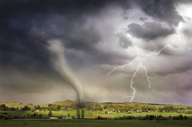
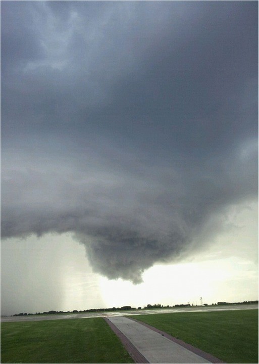
A tornado that ripped across sections of Chicagoland late Sunday night was confirmed by radar, causing damage to homes in at least two Chicago suburbs and injuring many people.

Tornado in Chicago
The huge, catastrophic tornado ripped through the western suburbs of Chicago on Sunday night, destroying homes and hurling debris three miles into the air. According to the Associated Press, the tornado damaged over 100 homes and wounded at least eight individuals. Before midnight local time, a tornado erupted amid a storm line that raced east through the metro region.
The tornado near Naperville was an EF3, according to preliminary survey data from the National Weather Service, making it the first EF2 or higher tornado to hit the Chicago metropolitan region since 2015.
Wrecking the Area
Entire living room wall gone from a house in Naperville, IL after tornado@ScottPeakeWX @MidlandUSA @weatherchannel pic.twitter.com/kunEZGHRAy
— SevereStudios (@SevereStudios) June 21, 2021
The heaviest damage was recorded just after 11 p.m. near Naperville and Woodridge, Illinois, some 25 miles west-southwest of downtown Chicago. National Weather Service radar identified a tornado debris signature, indicating tornado material. According to a news statement from Naperville, sixteen residences were severely damaged and considered uninhabitable. Five individuals were taken to the hospital. One of them had severe injuries.
After the tornado tore through regions east of Route 53 between 83rd Street and 75th Street in Woodridge, just east of Naperville, at least 75 buildings were destroyed. In addition, a section of Interstate 355 was reported to be littered with debris.
Related Article : Despite Temperature Spikes, American Northeast May Experience Some Cooling Due to Stormy Weather
Reported Injuries
According to a statement released by Woodridge Police, no serious injuries were recorded. However, the area should be avoided due to felled trees and electrical wires. According to radar, the tornado then proceeded eastward over sections of the Darien and Burr Ridge suburbs until lifting around Burbank or Oak Lawn, Illinois. At least one home was damaged in Darien, and power lines were toppled in Burr Ridge, but no one was hurt.
Tornado Problem

The tornado was part of a storm system that passed over the Midwest late Sunday night and early Monday. Tornadoes are a regular hazard along strong thunderstorms' so-called squall lines. They can occur at any time of day or night and are frequently rain-wrapped and difficult to notice. Many tornadoes in a squall line have an EF0 or EF1 rating.
However, they may be powerful at times, causing EF2 or greater damage. At 10:43 p.m., the NWS issued a tornado warning for areas of Kane and DuPage counties. A wind gust of 60 miles per hour was recorded at Aurora Airport, and trees on the west side of Aurora, about 10 miles west of Naperville, were destroyed. According to Woodridge Police, the tornado sirens were activated at 10:48 p.m., about 26 minutes before the tornado impacted, as predicted by the NWS.
Let's talk about Sunday Night's storms.
— NWS Chicago (@NWSChicago) June 21, 2021
First off, our thoughts are with those who experienced injuries or significant damage from these storms.
At least one damaging tornado occurred in the southwest Chicago metro & will be surveyed today.https://t.co/49AVS6R7rw #ILwx #INwx pic.twitter.com/UTrfwSDxKB
Damage surveys are being conducted by the National Weather Service to assess the tornado's route and strength. According to early estimates, the damage seen so far in the Naperville tornado is consistent with an EF3 tornado. According to University of Oklahoma research meteorologist Sam Emmerson, debris may have been lofted to at least 18,000 feet, characteristic of larger tornadoes.
Another potential tornado hit the city's north side, damaging trees in Addison and forcing travelers at O'Hare Airport to seek cover in tornado shelters.
According to the National Weather Service, another suspected tornado inflicted damage near South Haven, Indiana.
Power Outages
More than 211,000 power outages had been recorded in Illinois, Indiana, Michigan, Missouri, and Ohio by early Monday morning.
For more climate and weather updates, don't forget to follow Nature World News!
© 2025 NatureWorldNews.com All rights reserved. Do not reproduce without permission.


