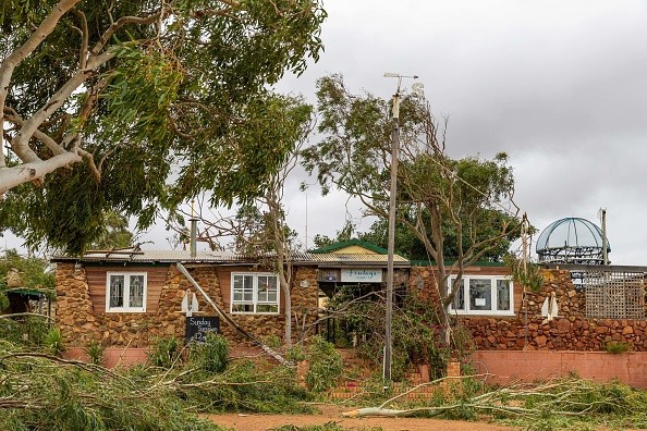
The full spectrum of severe weather is feasible, including tornadoes, from two rounds of violent storms aiming at the northern Plains of the United States this week, AccuWeather meteorologists warn.

The Two Storm Systems
The severe weather will take place as two potent storm systems swing out from the northwestern U.S. and move eastward across the northern tier of the Central states. Even though majority of the thunderstorms are anticipated to take place in the wide open spaces in the area, there will be dangers to livestock, ranchers, crops, small communities, and even several larger cities.
During Monday afternoon, a small cluster of quick tornadoes touched down in Weld County, Colorado, sited in the north-central part of the state. Luckily, the storms did not cause any injuries, but they led to minor property damage and occasional power outages. The initial round packed a punch Tuesday night, concentrating on multiple states in the North Central region.
Storms erupted from eastern Wyoming and east-central Montana to the central and western parts of the Dakotas, northeastern Colorado and western Nebraska, distributing large hail stones and fierce winds in some regions.
Wind Gusts
There was a record of up to 70 mph of Wind gusts in Stutsman, North Dakota, and hail up to 4 inches in diameter was discovered in Wibaux County, Montana. Hail was followed by wind gusts of up to 60 mph in Emmons County North Dakota.
It was also noted that some of the hail there measured up to 4 inches in diameter, as stated in a report by NOAA's Storm Prediction Center. Matt Benz, AccuWeather Meteorologist said looking forward to later this week, there is a possibility that the second round of storms on Thursday will bring the full spectrum of severe weather, to parts of the North Central states.
"In addition to the isolated tornado threat is the probability of storms with strong wind gusts, and also the potential for flash flooding and hail," Benz continued.

Rainfall Deficits
Due to the strength of the Thursday storm systems and the wide open spaces in the area, wind gusts may get to 80 mph in some of the storms. "On Thursday afternoon and night, gusts with some of the storms might even surpass 100 mph," Benz added.
Hail could be somewhat large and surpass the size of golf balls in some cases. Even though much of the area needs rain, excess rain may fall too rapidly in some locations and bring about isolated flash flooding.
Conditions range from unusual dry to that of exceptional drought, according to the United States Drought Monitor. Rainfall deficits ranged from 40 to 60% of average in an area that normally picks up a sum of less than 8 inches through June 7, since Jan. 1.
For more news, updates about storms and similar topics don't forget to follow Nature World News!
© 2025 NatureWorldNews.com All rights reserved. Do not reproduce without permission.


