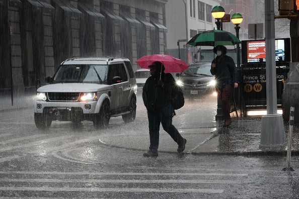
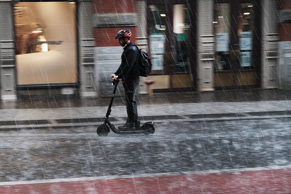
While the Northeast continues to fry in the first heatwave of the season, AccuWeather forecasts predict showers and thunderstorms are on the way.

This past weekend, areas of the area seemed like they were in the thick of summer. For the first time in 2021, Central Park in New York City hit 90 degrees Fahrenheit or more on Sunday afternoon.
High Temperature Records

Several high-temperature records were broken around the region on Saturday and Sunday, with Sunday being the most remarkable thus far in most regions.
Newark, New Jersey, set the pace by setting a new high of 97 degrees Fahrenheit on Sunday, smashing the previous high of 94 degrees set in 2010. Both Queens, New York, and Burlington, Vermont, saw record-breaking highs of 95 degrees.
Heatwaves
The three-day heatwave in cities from Washington, D.C., to Boston ended on Monday with mostly comparable temperatures.
According to the National Weather Service, a heatwave is defined as three days or more with high temperatures of 90 degrees or above in the Northeast region.
Related Article : Mega-drought Drastically Affects Colorado River, Risking Water Shortage to 40 Million People
Rise in Humidity

The rise in humidity and the return of thunderstorms are two shifts from the weekend to the early week.
Humidity levels were trailing the temperature increase over the weekend. However, with an increase in moisture from the Gulf of Mexico and, to a lesser degree, the Atlantic Ocean, this began to shift on Monday.
Moving forward through the middle of the week, the humidity will surely add to the severity of the heat.
When compared to the weekend, perspiration may not evaporate as fast, and persons with respiratory difficulties may have greater trouble dealing with the increased humidity levels and continued temperature.
Probability of Rain
According to Meteorologist Adam Sadvary, the more humid conditions will make isolated afternoon showers and thunderstorms more probable over the Northeast early this week, helping to keep temperatures a few degrees cooler than they were this past weekend when most places were dry.
On Monday, afternoon thunderstorms in locations like Pittsburgh and Washington, D.C. kicked off a cooling trend that is likely to persist the rest of the week.
Temperatures Above 90

Temperatures in Philadelphia reached the mid-90s, although storms aren't expected to arrive until Monday night. On Monday, afternoon thunderstorms blew over Syracuse, New York, but the city's temperatures rose into the low 90s nevertheless.
In Baltimore came close to hitting the objective with a RealFeel Temperature of 98F in the afternoon. Afternoon RealFeel temperatures will likely stay in the mid-90s on Tuesday and Wednesday.
Safety Measures
According to weather experts, residents should check car backseats and not leave children or pets in heated automobiles.
Expecting Rain
As the week progresses, significant rain is expected in Ohio Valley on Tuesday and Wednesday.
On Monday, a stalled band of thunderstorms brought torrential downpours to the Gulf Coast and Southeast from eastern Texas to Georgia and is expected to move into the Ohio Valley on Tuesday. Stormy weather will extend from Arkansas to southern Ohio on Wednesday.
Incoming Drizzles

These storms are forecast to move slowly, enabling many rounds of downpours to fall on a small region at once, raising the danger of flooding.
According to forecasters, the Northeast will be mainly dry, with low humidity and cold evenings.
However, there will be more temperature swings on the way.
Temperatures in the Northeast are expected to start low next week, then rise as another chilly front move south from Canada. Then, on a westerly flow, warmer air will arrive rapidly.
For more climate and weather updates, don't forget to follow Nature World News!
© 2025 NatureWorldNews.com All rights reserved. Do not reproduce without permission.


