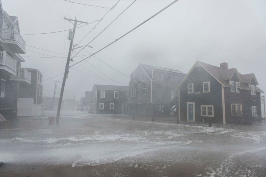
Only days after Saharan dust wreaked havoc on the air quality, coating everything from automobiles and houses to entire mountain ranges, parts of Spain will be hit by yet another wave of bad weather.
According to AccuWeather experts, days of persistent rain will cause catastrophic flooding across a big part of Spain this week.

Warnings
AccuWeather Senior Meteorologist Tyler Roys warned that a highly hazardous situation is expected to develop throughout areas of Spain's eastern coast this week.
This week, while high pressure will stay entrenched throughout most of central and eastern Europe, deep, damp air will continue to surge across much of Spain. A procession of storms is expected to sweep through the Iberian Peninsula through the end of the week, with a new storm arriving every few days.
These storms will be slow-moving and able to take advantage of the copious moisture in the sky, resulting in spells of heavy rain throughout Spain and southern Portugal. On Monday, the first of these storms developed over the region.
Much of southern and eastern Spain might have 1-2 inches (25-50 mm) of rain by the end of the week, while places from northern Alicante to Castellón could see 4-12 inches (100-300 mm), according to Roys.
Trouble All Over Spain
According to Roys, there are 20 inches (500 mm) of rainfall in the hardest-hit areas where the strongest downpours persist daily.
To put this in context, Madrid, Spain's capital, had little over 19 inches (490 mm) of rain for 2021. While the city itself is expected to be spared from the downpour, certain parts of eastern Spain might have as much rain as Madrid did in a year this week.
The city of Castellón had already gotten 4.60 inches (116 mm) of rain as of early Tuesday, while other parts of the province had received 2-4 inches (50-100 mm). Many localities in the Valencia province received nearly 6 inches (150 mm) of rain in under 24 hours.
According to Roys, significant floods are at risk because this rain needs to go someplace.
After days of rain, rivers and streams may expand and exceed their banks. Residents living near rivers or streams may need to reach higher ground this week, as rain is expected to pour continuously.
Satying Vigilant
As local emergency services kept a careful check on increasing river levels, flooded neighborhoods, and storm damage early this week, a stunning video trickled out of the nation.
When rain falls rapidly enough that the overburdened earth cannot absorb it, flash flooding is likely when the ground is already saturated. Furthermore, if the rain continues to fall and the soil becomes shaky, the risk of landslides and mudslides will grow for higher elevation locations throughout the week.
These waves of torrential rain arrived only days after Saharan dust blanketed most of Spain and other parts of Europe.
Water All Over Spain
Residents across the region sought to go about their daily lives as usual last week. However, dust choked the sky, turning everything into a rusty orange haze and drastically lowering air quality. As the week proceeded, the dust thinned out and finally evaporated, allowing for better air quality to return.
While the rain this week will help wash away any lingering dust caked on hard-to-clean surfaces, it will also pose a severe flood danger.
Forecasters at AccuWeather will continue to monitor the forecast across Europe in the following days but predict drier weather might be on the way by the weekend.
For more news about the environment, don't forget to follow Nature World News
© 2025 NatureWorldNews.com All rights reserved. Do not reproduce without permission.


