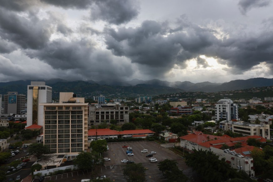
This week, Hurricane Beryl hits the Caribbean with its dangerous winds and flooding that causes death.
As it highlighted the impact of climate change, the storm broke a record in almost one hundred years' history of the first Atlantic hurricane in category five with the top sustained wind speed being around 160 mph (257 km/h).
Warmer Seas
Fully linking specific instances to climate change can be challenging, especially since the origins of particular storms can sometimes be quite intricate.
However, some scientists believe that one of the biggest reasons for Hurricane Beryl's immense intensity was very warm sea temperatures. Typically, these powerful storms don't form until much later in the season, following the summertime warming of the oceans.
Because of the extreme heat, Beryl became the first storm in Atlantic history to achieve Category 4 and later Category 5 status, which had disastrous consequences. As the storm tore across the Caribbean, at least seven people lost their lives.
Beryl's impact on the island nation on Monday, according to the prime minister of Grenada, was "unimaginable," with the great majority of the buildings on the hardest-hit islands either destroyed or severely damaged.
The tropical Atlantic is where Beryl was born. In order to develop into larger and more powerful storms, baby storms require a lot of heat, which is typically not present thus early in the hurricane season. Most storms that develop in June and July do not strengthen into strong hurricanes. Larger hurricanes are more likely during the summer as the ocean gradually warms.
But this year, there is off-the chart temperature of water over the tropical Atlantic. It has been a new record for more than a year, which means there is a lot of extra heat capable of causing storms.
Andra Garner, a hurricane expert at Rowan University in New Jersey, thinks that storms like Beryl are caused by human activity.
"When we're warming the planet with our fossil-fuel emissions, we're making it more likely that we have those warm ocean waters that can allow a storm like Beryl to really develop and intensify quickly," she added.
Altered Pattern
Beryl strengthened in just 48 hours from a small tropical depression to a powerful hurricane, just before it made landfall for the first time.
Federal hurricane data indicates that big hurricanes that form in the Atlantic usually intensify at a reasonably fast pace.
According to Ken Graham, director of the National Weather Service, every Category 5 hurricane that has made landfall in the Caribbean in the past 100 years was merely a tropical storm three days earlier. In other words, the strongest storms are probably going to intensify rapidly.
But some experts question the timing, which they find strange. This kind of sudden intensification in a storm has never happened before. This is the first time in the history of major hurricane development cycles as far back in time as we can go. Rapidly intensifying major hurricanes usually do not occur until summer or early fall when tropical Atlantic sea surface temperatures are at their highest levels, and when there is an extensive area of hurricane activity.
However, because of the ocean's absorption of a large portion of the extra heat held by greenhouse gas emissions from human activity, climate change may be changing such patterns.
Experts claimed that as the climate warms, we should anticipate seeing more of these storms strengthen quickly.
© 2026 NatureWorldNews.com All rights reserved. Do not reproduce without permission.


