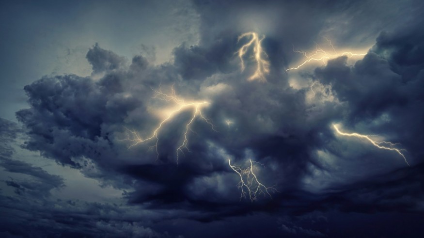
Severe weather is likely to cause travel disruption and life-threatening risks again across the Central United States starting Friday, June 28. The National Weather Service (NWS) recently issued a storm alert for the region due to the threats posed by potential tornadoes, large hail, and damaging winds. Flash flooding due to heavy rain is also possible, particularly across the Central Great Plains and Mississippi Valley.
Thunderstorms across the Central US are being driven by a storm system, which is crossing over the region and into the Northeast US, according to the NWS. The system has been forecasted to bring "unsettled weather" in the affected areas this last week of June. Meanwhile, other parts of the country, especially the Southwest US, are experiencing excessive heat amid the North American summer season.
Central US Storm Alert

The NWS' Weather Prediction Center (WPC) issued the Central US storm alert at 3:17 a.m. EDT (local time) on Friday, warning that severe thunderstorms and flash flooding can potentially occur across the central Plains and Midwest regions. The weather service says that several tornadoes are possible in these areas, along with the severe weather hazards mentioned earlier.
From Friday to Sunday, June 30, inclement weather conditions and severe thunderstorms are expected from the central Plains to the Mississippi Valley, and New England region in the Northeast. Disruption of domestic and international flights to and from the said regions is possible due to the severe weather. In addition, urban flooding and river flooding are possible throughout the weekend, especially in low-lying areas.
Thunderstorms and Flash Floods
During thunderstorms, torrential rainfall can result in flash floods and develop within 6 hours after the initial cause, according to the US Government weather agency. Furthermore, floodwaters can be amplified if an almost static thunderstorm or similar storm systems overlap in the same area, the agency adds. In fact, this phenomenon as occurred in the US in recent years, resulting in tornado outbreaks and deadly flooding.
Amid severe thunderstorms, US meteorologists have provided safety tips and guidelines for the public, especially because related weather events earlier this year have resulted in human casualties and widespread infrastructural damage in several states. In May 2024, tornado outbreaks driven by multiple thunderstorms resulted in the deaths of at least 11 people in Arkansas, Oklahoma, and Texas.
According to the Department of Homeland Security, below are some of the most crucial thunderstorm safety tips, especially if a person's area is under a thunderstorm warning:
- Monitor current weather alerts and warnings.
- Move indoors, including a car with a roof, if you hear a thundering roar.
- Avoid the use of electronic devices that are connected to an electric socket.
- Remain vigilant for downed power lines and fallen trees.
- Avoid driving through flooded roads and highways.
© 2025 NatureWorldNews.com All rights reserved. Do not reproduce without permission.


