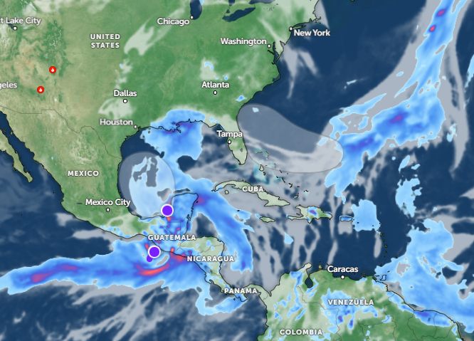
A severe thunderstorm is likely in the central U.S. this week, according to the latest weather report. Residents can anticipate isolated thunderstorms and heavy downpours, causing flooding dangers and travel concerns.
People should stay alert for poor weather potential in Central U.S. In other areas, an NWS Weather Prediction Center report on June 16 warns of record-breaking heat in the Great Lakes, Northeast, and Midwest.
Even if some parts of the U.S. have recorded the first significant heatwave potential this season, homeowners should still watch out for a severe weather potential this week. Considering the weather conditions, it is best to check the latest weather information before traveling.
Weather conditions in the central U.S: Where will severe thunderstorms unload?

According to a weather report published on June 17, the latest weather advisory raised concerns about a severe weather outlook in the central U.S., warning of flooding downpours and isolated tornadoes.
Areas from Kansas to Minnesota can anticipate possible severe weather conditions this week. Commuters should stay updated with the weather report and limit unnecessary outdoor activities due to flooded or slippery roads.
On Monday, residents can anticipate severe thunderstorms packed with hail, isolated tornadoes, localized damaging winds, and flooding. The forecast warns that flash floods will be the main threat, particularly for low-lying or flood-prone areas.
These are areas at risk of severe thunderstorm threats in the central U.S:
- Fargo
- Aberdeen
- Sioux Falls
- North Platte
- Minneapolis
- Wausau
- Duluth
- Thunder Bay
The forecast warns of periods of heavy rain in Sioux Falls on Wednesday, and flash floods for heavy rain can likely result in potential flash flooding. Residents can expect widespread rainfall in the midweek, reaching two or four inches.
On Tuesday, commuters can still anticipate a severe thunderstorm potential in Fargo, Sioux Falls, Sioux City, North Platte, Omaha, Hays, Duluth, Thunder Bay, and Minneapolis.
In the North-Central states, residents should keep alert for repeated downpours and flash flooding, resulting in impacted travel and outdoor plans in the following areas:
- Fargo
- Duluth
- Minneapolis
- Sioux Falls
- Omaha
- Green Bay
- Sault Ste. Marie
In Duluth, residents should also watch out for heavy rain and flash flood threats on Monday through Tuesday. Commuters should stay alert for the Flood Watch.
Central U.S. weather preparedness: How can people stay safe from severe thunderstorms
The weather conditions warn of a challenging weather outlook in the central U.S. this week, resulting in widespread rain potential and travel concerns. Additionally, limiting outdoor travel is advisable when conditions become difficult or severe.
In addition, monitoring for the latest tornado advisories can help keep safe from isolated tornadoes. Having emergency kits and plans is essential when severe thunderstorms become frequent.
For more similar stories, don't forget to follow Nature World News.
© 2025 NatureWorldNews.com All rights reserved. Do not reproduce without permission.


