Weather experts have warned that the risk of tornadoes could increase in the Memorial Day weekend in the central portion of the United States up to the east coast.
Disruptive Thunderstorms
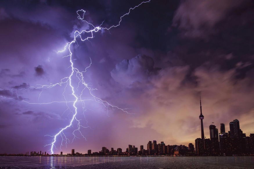
Based on the forecast, the stormy weather will bring disruptive and dangerous thunderstorms in the areas situated in the central US. Meteorologists said that the wind gusts could reach or exceed Category 1 hurricane force, which is 74 mph.
The Saffir-Simpson scale ranges from Category 1 to Category 5, and each of this category represents a range of wind speeds and associated damage.
Experts also said that the Category 1 hurricane has sustained winds of 74-95 mph, which can cause minor damage such as broken tree branches, downed power lines, and slight roof damage.
Officials further said that the risk of tornadoes could be the largest over parts of the central and southern Plains on Saturday, the middle portion of Mississippi, Ohio, and Tennessee valleys on Sunday and it will also be felt in some parts of the middle Atlantic region on Memorial Day.
When it comes to the portions of the Central states, the threat of tornadoes may continue after dark on Friday, Saturday and Sunday.
Due to the weather, many areas in the central and eastern states will be struck by one or more rounds of thunderstorms over the weekend.
Further, if accompanied by downpours and gusty winds, the weather condition can even ruin outdoor and public gatherings, such as weddings, memorial parades and even family cookouts.
Authorities are closely monitoring the situation during the weekend as a large complex of severe thunderstorms may hit hundreds of miles and this could lead to dozens of damaging wind and flash flood incidents in areas from central Oklahoma and Kansas.
The weather may also affect residents who are staying in southern and central Missouri and northern Arkansas as well as those who are residing in portions of Illinois, Indiana, Kentucky and Tennessee.
Next Round Of Severe Weather
Meanwhile, the National Weather Service said that the next shortwave to eject out of the western US and into the Great Plains is expected to spark the next round of severe weather late on Saturday in the central and southern Plains.
The weather forecast indicated that the low pressure forming in the lee of the central Rockies would bring a warm front northward to the central Plains and mid-Mississippi Valley, while a sharp dryline extends southward towards the southern Plains.
These features combined with a strengthening low-level jet will allow for storms to turn severe, and weather officials warned that this may bring a risk for large hail, intense rainfall rates, a few tornadoes, and damaging wind gusts.
So far, the Storm Prediction Center already issued an Enhanced Risk (level 3/5) for severe thunderstorms across parts of Kansas, Oklahoma, and western Missouri in anticipation of the bad weather threat.
© 2025 NatureWorldNews.com All rights reserved. Do not reproduce without permission.


