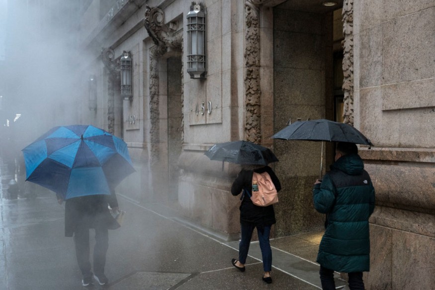
Meteorologists warned that areas in the south-central portion of the United States would experience floods as these may resurface due to severe weather.
More Rains Over The Weekend

They said that more rains could brew for portions of the southern Plains, central Gulf Coast and the lower Mississippi Valley at the later part of this week and this weather condition could continue until the upcoming weekend.
Officials said that many locations from northeastern Texas through Louisiana and parts of southern Mississippi, southern Alabama and northern Florida received a month's worth of rain and more from a slow-moving storm system during the previous week.
Further, a few locations picked up over a foot of rain, which is equivalent to two months' worth.
Authorities said that uch of the rain poured down in a matter of hours and prompted flash flood emergencies in cities such as New Orleans and Tallahassee, Florida.
The National Weather Service said that a relatively progressive weather pattern has been forecasted to establish stormy conditions across the nation as the weekend approaches.
This progressive pattern will kick a relatively slow-moving low pressure system further out into the Atlantic while allowing a cold air mass from Canada to pour southward into the Great Plains.
Meanwhile, a low pressure wave currently developing along the boundary of the cold air mass over the Midwest will bring an enhanced threat of severe thunderstorms across the Midwest in the evening, moving into the Ohio Valley early on Friday.
A slight chance of severe thunderstorms is forecasted to extend farther southwest into central Texas near the trailing portion of the cold front.
In addition to the severe weather threat, the heavy rain associated with the thunderstorms may result in flash flooding concerns at some places across the aforementioned areas.
By Friday, the cold front is forecast to move steadily east toward the East Coast.
Read Also : Colorado Weather Forecast: Snowy Conditions Likely Cause Slushy Roads, Travel Delays This Late Week
Thunderstorms, Weather Threats
Showers and thunderstorms will likewise move farther east out of the Ohio Valley and into the Appalachians, reaching into the interior Mid-Atlantic, Southeast, and New England by Friday evening.
Weather experts warned that the severe weather threat is expected to be not as high on Friday for these areas.
On Saturday, residents in the affected areas will see these showers and storms steadily exiting the East Coast as the cold front pushes off the coast into the Atlantic.
However, interior New England will see the showers linger due to the arrival of a reinforcing cold front from Canada.
As a large dome of high pressure system associated with the Canadian cold air mass settles into the Great Plains, the upslope dynamics will set up the opportunity for wet snow to develop over the central High Plains on Saturday, mixing with rain during the day.
Meanwhile, as an upper trough moves farther east into northern Mexico on Saturday, the associated dynamics is seen to support an expanding area of rain over the southern Plains as the trough interacts with moist air returning from the Gulf of Mexico.
It also appears that the threat of heavy rain threat will expand through eastern Texas by the end of the forecast period on Saturday evening.
Related Article : UK Weather Forecast: Patchy Rain and Variable Cloud Cover Predict Average Temperatures
© 2025 NatureWorldNews.com All rights reserved. Do not reproduce without permission.


