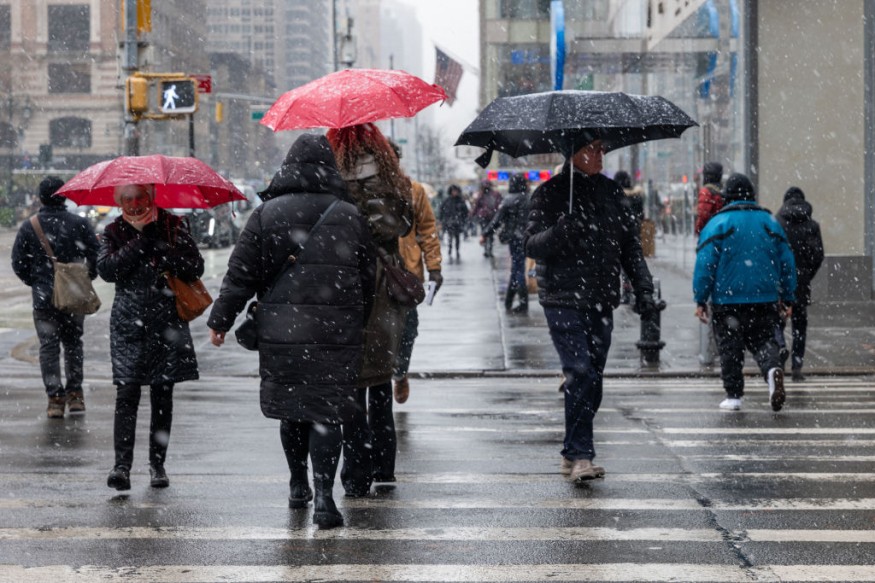
Authorities said that at least 90 were killed following the freezing storms across the United States.
Officials said that the fatalities include at least 25 in Tennessee and 16 in Oregon. These areas remain under a state of emergency following the severe ice storms.
The other fatalities have been reported in Illinois, Pennsylvania, Mississippi, Washington, Kentucky, Wisconsin, New York, New Jersey and in other areas.
Water, Power Supply Issues
Due to the weather condition, tens of thousands of people have remained without power across most of the areas of US.
Furthermore, officials in Mississippi are also looking into the information circulating online about potential storm-related water shortages, which are prompting residents to store water in their bathtubs.
Due to this, there has been a temporary drop in water pressure and dry faucets for thousands of residents in Jackson.
Meanwhile, there were also water issues that are affecting residents in Tennessee. The local utility there said it had already fixed 41 water mains and more than 4,000 water pipes due to the effects of the cold temperatures.
Many schools and government offices have also closed operations as well as the operations of the State legislature, canceling in-person meetings all week.
Meteorologists warned that the freezing stormy conditions are expected to continue until the middle of the week.
Freezing Rain To Continue
The National Weather Service (NWS) said that the high pressure over the Central Appalachians/Mid-Atlantic Middle Mississippi Valley would slowly move over the Western Atlantic by Tuesday evening.
The cold air associated with the high will linger over the Central/Southern Plains, Middle Mississippi Valley, and Great Lakes/Ohio Valleys.
In addition, the flow around the area of high pressure over the Eastern US will stream moisture northward from the Western Gulf of Mexico combined with upper-level energy.
This weather condition will aid in producing rain over parts of eastern Texas into the Lower Mississippi Valley on Monday into Tuesday.
The moisture flow will also produce showers, thunderstorms, and heavy rain over parts of the Western Gulf Coast and Lower Mississippi Valley.
Due to this, the Weather Prediction Center has issued a Slight Risk of excessive rainfall over parts of the Western Gulf Coast and Lower Mississippi Valley from Monday into Tuesday morning.
The associated heavy rain will create mainly localized areas of flash flooding, with urban areas, roads, and small streams the most vulnerable.
On the other hand, the moisture flows northward into the cold air over the country's middle part, producing heavy rain and freezing rain over parts of the Southern Plains, Lower/Middle Mississippi Valley from Sunday evening into Monday evening.
Moreover, light rain/freezing rain will develop over parts of the Western Ohio Valley into the Great Lakes and Sunday evening into Monday evening.
From Monday evening into Tuesday, the rain/freezing rain is predicted to move more into the Great Lakes/northern Ohio Valley, creating moderate rain/freezing rain over the region.
The light rain/freezing rain will continue over parts of the Central Plains/Middle Mississippi Valley.
On the other hand, the moisture will produce heavy snow over the Sierra Nevada Mountains from Sunday evening into Monday evening.
The system moving away from the area will produce lighter snow over the Sierra Nevada Mountains from Monday evening into Tuesday.
Related Article : Heavy Rain To Hit California On Weekend
© 2025 NatureWorldNews.com All rights reserved. Do not reproduce without permission.


