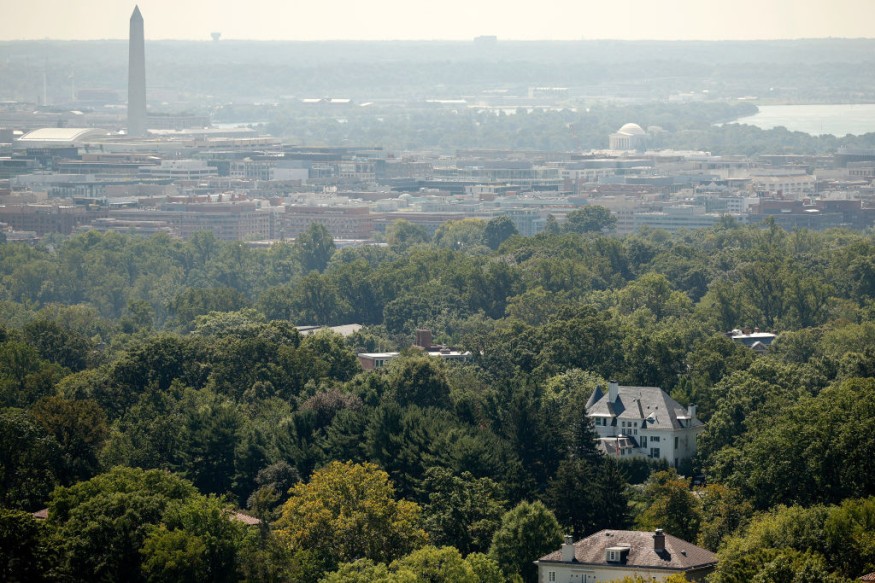
Experts said that more damaging earthquakes could be experienced along the United States' central and northeastern coastal corridor.
Hazard Zones
A new map has shown that 75% of US states are at risk of damaging earthquakes. Millions of Americans live in areas with a high danger of experiencing earthquakes.
This includes known earthquake hazard zones such as Los Angeles, San Francisco, Portland and Seattle as well as other locations like Salt Lake City and Memphis.
Scientists said that the US National Seismic Hazard Model (NSHM) was updated in 2023 for all 50 states using new science on seismicity, fault ruptures, ground motions, and probabilistic techniques in order to produce a standard of practice for public policy and other engineering applications.
They said that the changes in 2023 time-independent seismic hazard (both increases and decreases compared to previous NSHMs) are substantial because the new model considers more data and updated earthquake rupture forecasts and ground-motion components.
In developing the 2023 model, experts tried to apply best available or applicable science based on advice of co-authors, more than 50 reviewers, and hundreds of hazard scientists and end-users, who attended public workshops and provided technical inputs.
The hazard assessment incorporates new catalogs, declustering algorithms, gridded seismicity models, magnitude-scaling equations, fault-based structural and deformation models, multi-fault earthquake rupture forecast models, semi-empirical and simulation-based ground-motion models, and site amplification models conditioned on shear-wave velocities of the upper 30 m of soil and deeper sedimentary basin structures.
Seismic hazard calculations yield hazard curves at hundreds of thousands of sites, ground-motion maps, uniform-hazard response spectra, and disaggregation developed for pseudo-spectral accelerations at 21 oscillator periods and two peak parameters, Modified Mercalli Intensity, and 8 site classes required by building codes and other public policy applications.
Tests have shown that the new model is consistent with past ShakeMap intensity observations.
According to experts, sensitivity and uncertainty assessments ensure resulting ground motions are compatible with known hazard information and highlight the range and causes of variability in ground motions.
In the study, scientists produced several impact products including building seismic design criteria, intensity maps, planning scenarios, and engineering risk assessments showing the potential physical and social impacts.
These applications provide a basis for assessing, planning, and mitigating the effects of future earthquakes.
The new information obtained helps to update the odds of harmful quakes in the seismically active regions of Alaska and California.
It further highlighted the possibility of more damaging earthquakes along the central and northeastern Atlantic coastal corridor, which includes the cities of Washington D.C., Philadelphia, New York and Boston.
Read Also : Earthquake Emergency: How Homeowners Can Prepare
Shifting Plates
The new information about this earthquake includes more faults, better-characterized land surfaces, and computational advancements in modeling that provide the most detailed view ever of the earthquake risks the public will face.
Earthquakes are defined as the result of plate tectonics, or shifting plates in the crust of Earth, and quakes occur when the frictional stress of gliding plate boundaries builds and causes failure at a fault line.
In an earthquake, elastic strain energy is released and waves radiate, shaking the ground.
Experts can predict where major temblors might occur in a general sense, but research does not yet allow forecasts for specific locations or accurate predictions of timing of this earthquakes.
Related Article : San Andreas Fault: Experts Predict the 'Big One' Earthquake Won't Be as Destructive as Once Thought
© 2025 NatureWorldNews.com All rights reserved. Do not reproduce without permission.


