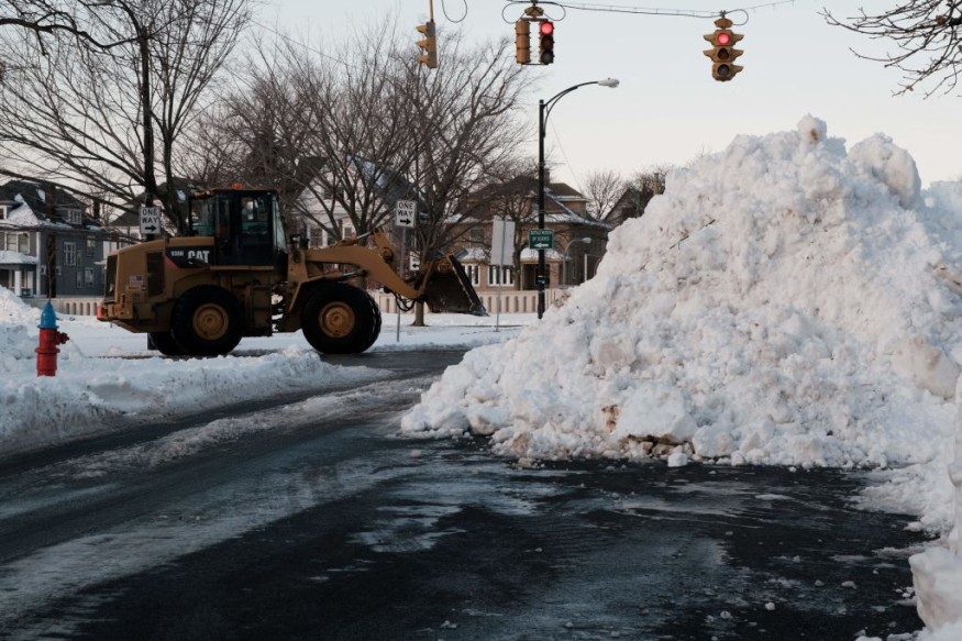
Following a snow drought in a span of more than 700 days, New York City residents were able to witness snow that blanketed the streets and left icy sidewalks.
Authorities said more snowfalls are expected in the coming days.
The National Weather Service said that it has been 701 days since Central Park last recorded an inch of snow on a calendar day.
Patchy Ice On Untreated Surface
The weather system also delivered enough snow for some school districts to have a chilly day, including those around the Philadelphia area. This was the first time that several inches of snow accumulated since January 29, 2022.
Officials said that up to six inches of snow is possible for Washington, D.C., and Baltimore, while one to four inches could accumulate from New York City to Boston. Meanwhile, Maine could end up with up to a foot of snow in some of its areas.
According to weather experts, patchy ice is seen to develop on untreated surfaces while the temperatures could also drop below freezing.
Furthermore, residual moisture will freeze, creating icy and slippery conditions on any untreated surfaces.
On the other hand, the gusty winds will dry up some of this moisture during the evening, and there will likely be patches of moisture that will also freeze.
Temperatures are forecasted to be several degrees below the norm throughout the week with lows in the low 20s and wind chills in the teens to single digits.
Authorities said this would be the city's longest and coldest outbreak of the season thus far.
Officials advised the public to be extra cautious while outside. Motorists and travelers should also drive slowly and allow for extra spacing between vehicles.
Moreover, officers said there were more than 300 flight cancellations and over 700 delays among Laguardia, Newark Liberty and John F. Kennedy airports, which are all located in the New York City area.
Due to the weather development, the New York City Emergency Management Department has placed the city under a Travel Advisory due to expected snow and possible freezing precipitation.
Authorities said New Yorkers should anticipate and plan for at least minor travel delays, with difficult travel in some instances.
They warned that the bulk of the snow is expected to end by middle of the morning with light precipitation continuing through the early afternoon. A mix of snow, sleet, and freezing rain or drizzle will be possible during this time.
Further, freezing precipitation may result in an instant layer of ice, particularly on non-snow-covered or exposed roadways that are untreated, including the elevated ones such as bridges.
Read Also : Wave of Snow to Hit New York and Other Cities Across the Midwest and Northeast This Week
Another Winter Storm
So far, another winter storm is expected to move into the Pacific Northwest and it is predicted to unleash rain from Seattle to San Francisco as well as snow towards the Cascade mountain range.
An ice storm warning is already in effect over the Portland, Oregon, for freezing rain Tuesday night into Wednesday.
Meteorologists said that the new weather system is forecasted to bring more snow to the Rockies on Wednesday, to the Plains of the Dakotas, Nebraska and Missouri on Thursday and possibly even to Washington, D.C., by Friday.
Related Article : Snow Drought: Lack of Measurable Snow Unfolds in New York
© 2025 NatureWorldNews.com All rights reserved. Do not reproduce without permission.


