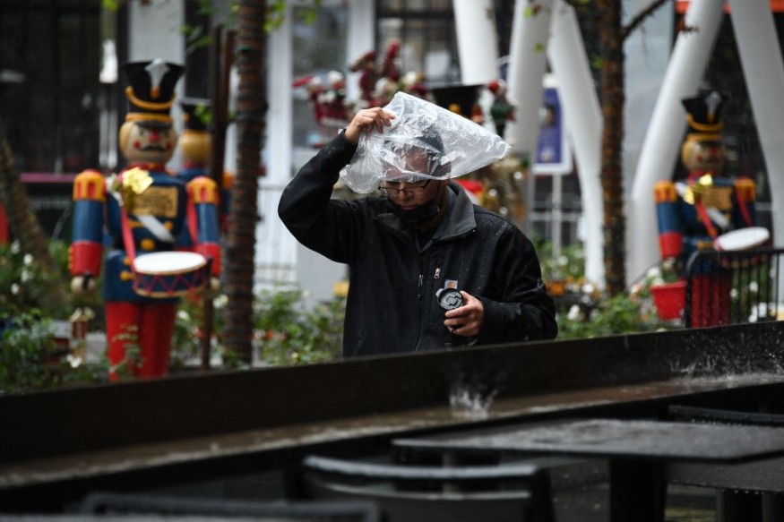
Weather experts said that a storm is expected to bring plowable snow towards the Rocky Mountain States and the High Plains.
Based on the forecast, travels going to the river and through the woods will be a snowy one this Christmas weekend.
Combined Weather System
Meteorologists said that the new storm would bring a white Christmas from Arizona to Dakota.
The said storm is a combined weather system of the storm that brings heavy rain and floods to Southern California and the Southwest deserts as well as the rain and snow showers hitting the Pacific Northwest late this week
Weather experts said this would be in stark contrast to much of the rest of the country, which will be snow-free for the holiday season.
Amid the holiday season, meteorologists said that the timing and amounts of snow expected would not be ideal for travel in the region beginning on Saturday.
Authorities advised travelers to consider moving their travel plans to Friday before the snow begins falling on Friday night and early Saturday.
Meanwhile, they said that the Four Corners region, encompassing portions of Arizona, Colorado, New Mexico and Utah, will be the first to see snow as the storm from California arrives.
Weather forecasters said that precipitation would likely begin as a period of rain in many areas before the cold air rushes in, including in Flagstaff, Arizona, before they would transition to a few inches of snow by Friday night and Saturday.
When it comes to Flagstaff, meteorologists said that this would be the second snow event of the season thus far.
They said that the city is well behind the historical average for snow through December 20, with 4.8 inches observed versus the historical average of 20.9 inches.
They explained that it does not appear that the deficit will be closed with this storm, but there will still be enough snow to cause some slush and hit on the roads through the weekend.
On the other hand, as the southern storm joined forces with the one coming from the Pacific Northwest on Saturday and Saturday night, the footprint of the unsettled weather will dramatically increase in size.
Expected Flakes
Due to this, Colorado Springs, Denver and Salt Lake City will be among the larger cities that will see flakes flying for the first half of the weekend and this will come following a brief period of rain.
Accumulations should be light in Salt Lake City, with meteorologists saying perhaps it is less than an inch, with snow falling at a heavier rate and for a longer amount of time farther east.
Moreover, heftier accumulations are expected across Colorado, much of Wyoming and across the High Plains.
At present, meteorologists will continue to monitor the storm as it advances eastward into the Plains and Upper Midwest.
They said that at the last minute, it could make the wish of a white Christmas come true for the residents.
They said that while the exact details of where the snow can fall, and how much can accumulate, are still to be determined by the next forecasts, a zone from Nebraska into the Dakotas and even Minnesota can experience windswept snow as the holiday dawns.
Meanwhile, a soaking rain may lead to localized floods on Christmas Eve and south across most of the central and southern Plains and into the Mississippi Valley and South, a soaking rain may lead to localized flooding on Christmas Eve and Day.
© 2025 NatureWorldNews.com All rights reserved. Do not reproduce without permission.


