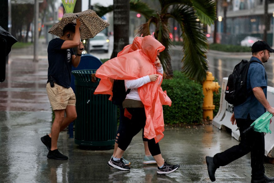
The last week of November will likely bring moderate to heavy rain to parts of Southern New England and Northern Florida, according to the latest forecasts.
Small flooding and dangerous road conditions are possible.
November brought colder conditions and snow to parts of the US, including in the Northeast, Midwest and Pacific Northwest. In Southern New England and Northern Florida, moderate to heavy rain is likely.
A cold front moving east across portions of the U.S this evening will continue to bring rain and snow chances for different parts of Midwest and Eastern regions. As we begin the new work week, make sure to stay up to date on the latest forecast! Visit: https://t.co/p0EOS6NUss pic.twitter.com/CBgBOl0wOQ
— National Weather Service (@NWS) November 26, 2023
Meanwhile, the National Weather Service (NWS) tracked the snowy conditions and winter advisories in the US as favorable conditions are likely for heavy lake-effect snow.
Moderate to Heavy Rain: Where Will It Unload?

The NWS Discussion reported a low pressure over the East Coast this early week. It will help spread unsettled weather conditions in parts of the US.
In the Northern Mid-Atlantic coastline, the advisory showed that potential snowfall is possible. The rounds of rain can unload in Southern New England and Maine this early week.
In addition, homeowners should stay updated with the Winter Weather Advisories this week, especially from New Hamshire to Northern Maine.
The challenging cold can affect people's health, and bring travel disruptions on Monday.
In the Midwest, an arriving cold front is expected in the region that could affect this week's travel. People should stay alert for slick travel and slippery roads.
Meanwhile, the NWS advisory said that up to 6 inches of snowfall could unload in Northern New Hampshire to Northern Maine. It can be good news for snow lovers, but prolonged exposure to snow is not recommended.
In Northern Florida, rainy conditions will be likely. However, a return of a dry outlook is expected in the early week.
Weather in Texas and Tennessee
The latest forecast warned of potential severe weather in Texas and Tennessee in the late week. The severe weather outlook can spark thunderstorms, heavy rain and flash flood risk.
On Monday, people can expect a chilly weather outlook in the following areas:
- Denver
- Kansas City
- Memphis
- Dallas
- Houston
- El Paso
However, severe weather can threaten in the late week in the following areas:
- Nashville
- Atlanta
- Little Rock
- Jackson
- Montgomery
- New Orleans
- Houston
- Austin
- Dallas
The rain advantage will benefit drought-stricken areas in the region, including in the Southern Plains and Mississippi Valley River. Homeowners should stay alert for thunderstorms and flash flood risk.
People in the Central California can expect a dry and cool weather. There is a potential low-pressure system on the West Coast. Residents can anticipate below-average temperatures on Monday.
The dry outlook can spread from Seattle, Portland, Los Angeles and San Francisco.
Related Article : NWS Weather Forecast: Snow, Rain To Bring to Southern Rockies, West
For more similar stories, don't forget to follow Nature World News
© 2025 NatureWorldNews.com All rights reserved. Do not reproduce without permission.


