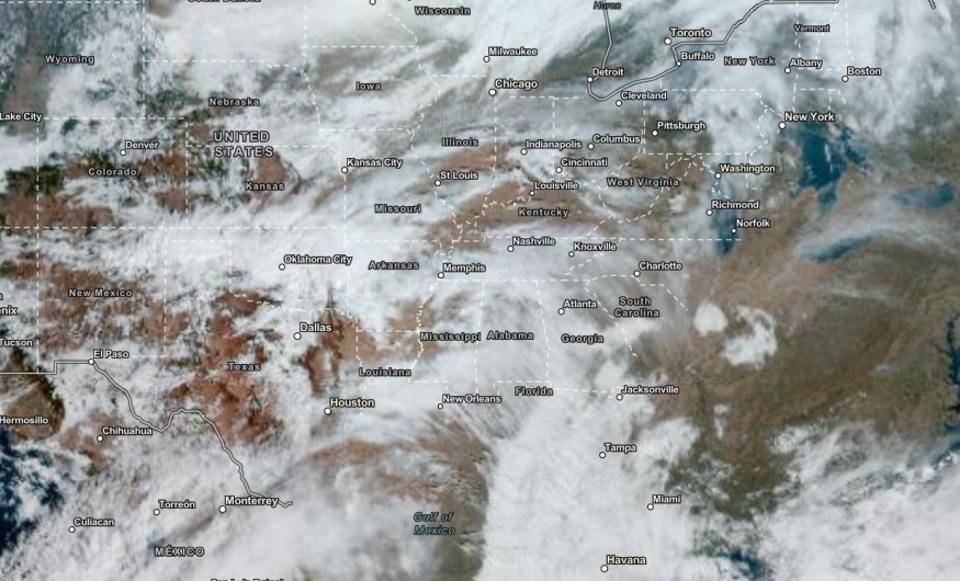
Above-average temperatures are expected in the Midwest, Great Plains, Great Lakes and Intermountain West this late week as Thanksgiving begins next week.
Although winter is coming to the US, homeowners should still watch out for prolonged dry conditions and a rainy outlook. The changing weather pattern could still unfold, especially a late-season storm this November.
The challenging weather could still emerge in the US. In this week's weather, Americans should watch out for fire concerns and prolonged exposure to heat.
Above-Average Temperatures: Where Will It Unload?

The above-average temperatures in November could continue this late week. In the Midwest and Great Lakes, temperatures can reach 60s, or 15 to 25 degrees above average.
The high temperatures are also likely in the Great Plains and Intermountain West. Recently, the Midwest also recorded unusual heat. The spike in temperatures can become challenging for outdoor workers, people with medical conditions and older adults.
In Kansas City, the weather forecast added that residents could expect the warmth this late week. In the afternoon, they can notice the Southerly winds, reaching from 25 to 30 mph.
On the weekend, the advisory said that average temperatures could emerge in the region, including from Central to Eastern US. There is also a chance of rain on the weekend, easing the drought and dry conditions.
Also Read : 2023 Meteorological Winter in US: Intensifying El Nino Can Bring Stormy And Wetter Conditions in December
Weather on the West Coast: What Can People Expect?
On the West Coast, the forecast is monitoring an upper-level low in the region. Residents can expect rounds of rain, including in California and the Northern Rockies.
In addition, residents should stay alert for thunderstorm threat this late week. The rainy outlook could reach from 1 - 2 inches on Saturday. On the weekend, light snowfall accumulation could unload in the Sierra Nevada.
On the weekend, the latest forecast showed that showery outlook in the following areas:
- Medford
- Redding
- Sacramento
- Fresno
- Las Vegas
- Salt Lake City
- Los Angeles
- San Diego
With the chance of rain, it will become beneficial for drought-affected areas on the West Coast and California. It can also prevent fire risks in the region. However, motorists should keep updated for localized flooding and widespread travel disruption on the weekend.
On the weekend, mild conditions are likely to unfold in the following areas:
- Jacksonville
- Houston
- Memphis
- Charlotte
- El Paso
- Denver
Did you know? Weather Facts
Late-season storms can still emerge as the Hurricane season ends. Forecasts reminded homeowners to keep updated with weather forecasts.
Related Article : Thanksgiving Weather in US: Rain, Snow Likely to Bring Travel Disruptions for 55 Million Travelers
For more similar stories, don't forget to follow Nature World News.
© 2025 NatureWorldNews.com All rights reserved. Do not reproduce without permission.


