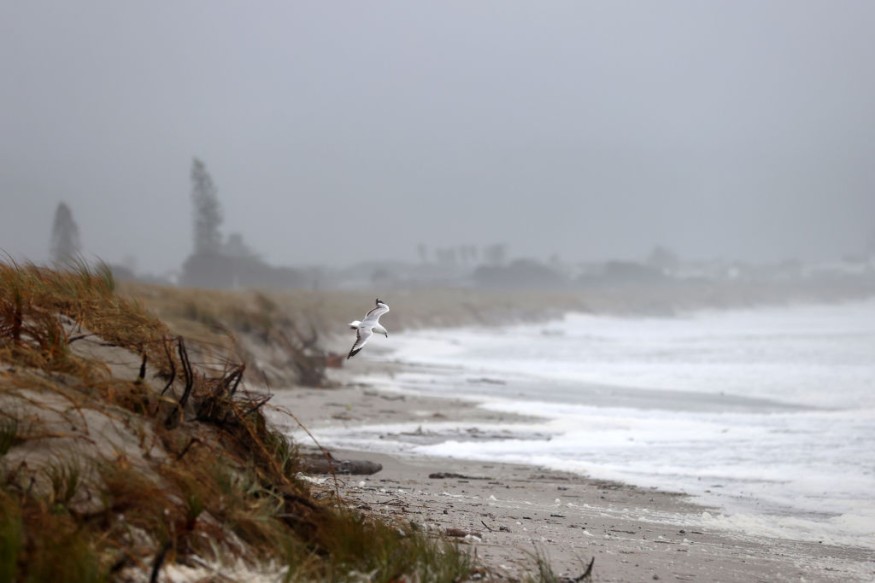
Weather experts said that tropical development is forecasted in the western and central Caribbean.
They pointed out that there are indications that other atmospheric conditions could come together for tropical development to occur.

Tropical Enhancement
Meteorologists pointed out that some zones could be deemed as the breeding grounds for tropical development toward the middle of November, and these are the areas located in the western and central Caribbean.
They said that waters over much of the Caribbean remain quite warm, with surf temperatures well into the 80s F, further adding that the minimum threshold for tropical development is about 80 degrees.
According to the weather forecast, this temperature can ignite a budding tropical system due to the reason that cool water does not become churned up to the surface as the wave action begins.
Another factor, which forecasters keep an eye for tropical development, is wind shear.
Meteorologists explained that wind shear is the change of wind speed or direction with height, or across a horizontal area.
Whenever the wind shear is strong, it can disrupt tropical development or cause established tropical systems to weaken. The National Weather Service said that a strong wind shear is a chief indicator of long-lived and potentially severe thunderstorms.
Wind shear is very high across the Caribbean late this week, according to experts, but there are some signs that this wind shear will ease in the region toward the middle of the month.
So far, data suggested that showers and thunderstorms would likely gather over the western and central Caribbean from this weekend through next week.
By next week, weather experts noted that there is a chance that an area of low pressure will develop over the western and central Caribbean, saying that there is a need to focus on the thunderstorms that the system will bring.
In case that this area develops a strong enough circulation, a tropical depression or storm may be born from the middle to the latter part of next week.
Meteorologists have already designated a low risk of tropical development in the western and central Caribbean from Tuesday to Thursday.
Where Will It Head?
If there is any delay on the expected tropical development, it is seen that the system could miss an opportunity to move northward out of the Caribbean.
Experts further explained that there is a wide range of possibilities of where any storm that forms could head, should a system will really develop.
They pointed out that a weak system could wander westward into Central America, or if the weather system takes time to become organized, then stronger wind shear could return and rip it up and end the threat of bad weather.
So far, the chance of a direct impact on the United States by a weather system in the Caribbean is very low at this time.
Meanwhile, another weather feature could play a role in the system's strength and perhaps cause some indirect impacts along the shores of the US.
Weather forecasts showed that a circulation around an area of high pressure, projected to be near the East Coast late next week, could help any storm moving north from the Caribbean to strengthen.
Moreover, if the track brings the system near Hispaniola then over the Bahamas, winds could be funneled between that feature and the high-pressure area.
This development could potentially lead to rough surf and above-normal tides from eastern Florida to the Carolinas.
Related Article : Tropical Disturbance Brewing in Caribbean May Impact US This September
© 2026 NatureWorldNews.com All rights reserved. Do not reproduce without permission.


