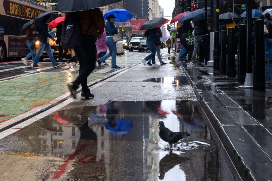
Weather experts said that dry weather could be experienced from Canada into New England after heavy rains brought by Ophelia.

The foreseen hot weather can be attributed to the high pressure that is set to sink southward from Canada and settle into New England.
This phenomenon will cancel rain chances on Wednesday, according to meteorologists.
Dry weather
To recall, post-tropical cyclone Ophelia had made its presence felt in the past days across the northeastern portion of the United States.
Ophelia's rainfall in New York City was recorded at two inches, including in other cities across the northeast.
Even though weather forecasters are seeing a return of dry weather, residents in the Atlantic Coast are still warned against hazardous conditions.
They said that the same area of high pressure that would promote dry conditions will also play an important role in maintaining a northeast wind in areas across the beaches.
The National Hurricane Center and Central Pacific Hurricane Center said that at 500 AM EDT (0900 UTC), the center of Post-Tropical Cyclone Ophelia was spotted near latitude 37.7 North, longitude 77.3 West.
Meteorologists said that the post-tropical cyclone is moving toward the north-northeast near 12 mph (19 km/h), noting that the motion is expected to continue today before a turn to the east tonight.
Meanwhile, the maximum sustained winds are near 25 mph (35 km/h) with higher gusts.
A gradual weakening is forecast during the next 48 hours as the low center moves slowly offshore.
Weather experts also said the estimated minimum central pressure is 1007 mb (29.74 inches).
Still, Ophelia is expected to produce the additional rainfall through late this coming evening in some portions of the Mid-Atlantic to southern New England (1 to 3 inches).
The said rainfall may produce localized flash, urban, and small stream flooding impacts that may have an impact on some portions of the Mid-Atlantic region into southern New England.
Further, Isolated river flooding is possible in areas of heavier rainfall.
Ophelia is also seen to pose a risk of coastal floodings in Washington D.C.
On the other hand, meteorologists also observe that fall will definitely be in the air as a cool northeast breeze will keep afternoon high temperatures in the 60s and lower 70s F in many locations across the Northeast during the midweek.
They also said that the overnight low temperatures would have many keeping jackets on hand, with 40s and 50s becoming commonplace.
High pressure
The American Geosciences Institute said that explained that high-pressure areas are places where the atmosphere is relatively thick.
Experts said that the winds blow outward from these areas, although in a spiraling way.
As air leaves the high-pressure area, the remaining air sinks slowly downward to take its place.
This will then make clouds and precipitation scarce because clouds depend on rising air for condensation.
Meteorologists said that high-pressure areas usually are areas of fair and settled weather.
Related Article : Tropical Storm Ophelia Intensifies as it Moves Closer to NYC, NJ, Causing Storm Surge and Rip Tides
Related Video:
© 2025 NatureWorldNews.com All rights reserved. Do not reproduce without permission.


