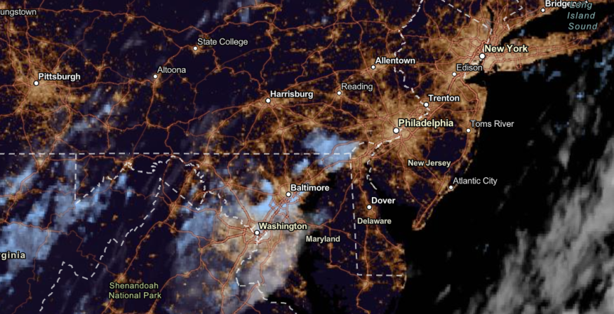
Heavy rainfall is forecast to unload in the Northeast and New England this week, causing possible flash flood risks. Flood watches are also present in Connecticut into New Hampshire.
As of the September 13 report, the slow-moving cold front and thunderstorms could help bring the rainy conditions in the Northeast and New England.
Motorists with travel plans should check the road for possible flooding concerns.
Recently, Massachusetts experienced heavy rainfall over the Northwestern parts of Boston, causing power outages and evacuations of people near the Barrett Pond Dam.
Northeast and New England weather forecast

According to the National Weather Service (NWS) latest advisory until September 16, unsettled weather conditions are likely in the Northeast and the New England.
The cold front and surge of moisture will help to unleash the excessive rainfall in the Northeast, causing flooding watches in parts of Connecticut into New Hampshire.
All eyes are on Hurricane Lee, which will continue producing dangerous surf and life-threatening rip currents to the East Coast, PR, and USVI; while enroute to New England. Strong thunderstorms and heavy rain is producing flash flooding in New England and the Southwest. pic.twitter.com/0VSoma3f3R
— National Weather Service (@NWS) September 14, 2023
People near flood-prone areas should monitor the latest forecasts for possible flooding and flash flood risks.
As of September 13, NWS explained that Hurricane Lee could bring dangerous surf conditions in parts of the East Coast, with challenging thunderstorms in New England.
In the midweek, possible tornadoes could emerge in parts of New Haven, Boston and Springfield.
Meanwhile, rainy conditions are expected in the following areas before the end of the week:
- Portland
- Boston
- New York
- Washington
- Virginia Beach
- Pittsburgh
- Buffalo
- Burlington
- Charleston
On Saturday, the rainy outlook with possible thunderstorms is likely in the following areas:
- Portland
- Boston
- Halifax
Meanwhile, Hurricane Lee could cause beach flooding and erosion in New York City. A special marine warning was also issued in Sound East of New Haven, Long Island Sound West of New Haven, Port Jefferson, NY and Connecticut River.
9/13 11pm AST: There is the potential for life-threatening storm surge flooding from Hurricane #Lee in portions of southeastern MA, including Cape Cod & Nantucket, late Friday & Saturday, where a Storm Surge Watch has been issued. Please check https://t.co/0BMJEzOTx0 for updates! pic.twitter.com/7NQKU9FdzB
— NHC Storm Surge (@NHC_Surge) September 14, 2023
According to the NHC, storm surge could be possible in Cape Cod, Nantucket and Southeastern MA in the late week or weekend due to Hurricane Lee.
In Washington City, cooler conditions are expected this week due to the strong cold front, bringing relief from the challenging heat.
Weather in the Southern Plains
In the Southern Plains, the NWS advisory showed that thunderstorm conditions with heavy rain could impact parts of the Southern Plains into the weekend.
Similar to the Northeast, the rainy outlook will ease the troublesome heat in the region. The September 13 forecast shows that the flooding threat could continue until the week.
Residents in the Southern Plains are warned of the flash flooding and excessive rainfall concerns.
Furthermore, the National Hurricane Center reported that Hurricane Lee could cause tropical storm conditions in Martha's Vineyard and Lock Island.
On the weekend, the heavy rain from the Hurricane could unload in the Eastern Maine. The forecast showed that Hurricane Lee could likely land in Canada's Nova Scotia, New Brunswick or Maine this coming weekend.
For more similar stories, don't forget to follow Nature World News.
© 2026 NatureWorldNews.com All rights reserved. Do not reproduce without permission.


