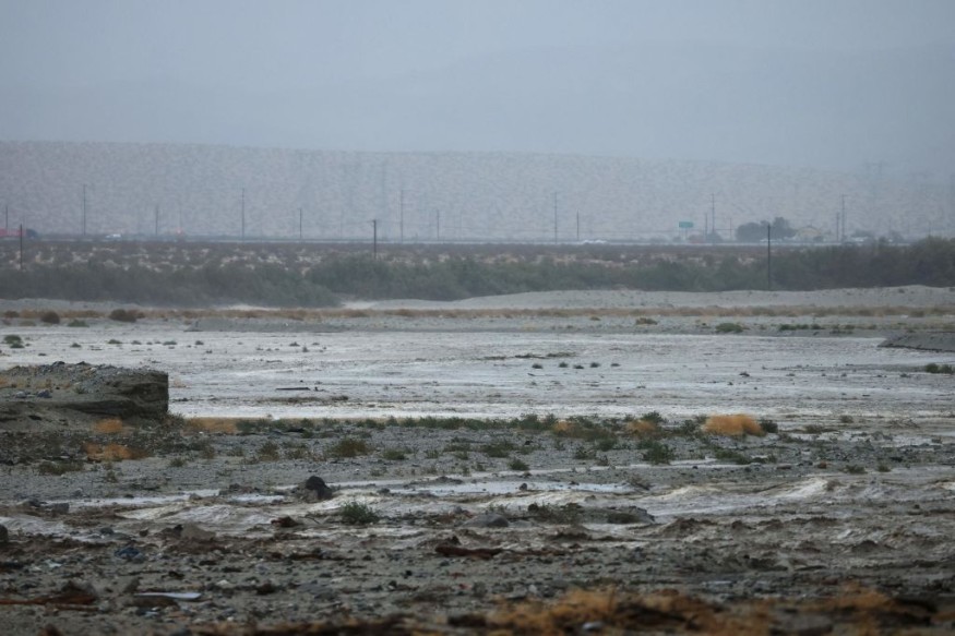
Weather experts said that Tropical Storm Lee could transform into a major hurricane.

The National Hurricane Center and Central Pacific Hurricane Center said that Lee is expected to rapidly intensify into an extremely dangerous hurricane by the weekend.
Path of the tropical storm
Meteorologists said that at 11:00 PM AST (0300 UTC), the center of Tropical Storm Lee was spotted near latitude 13.5 North, longitude 43.0 West.
Lee is tracking the direction towards the west-northwest near 16 mph (26 km/h).
They said that this motion is expected to continue for the next few days with a slight reduction in forward speed.
Meanwhile, the maximum sustained winds have increased to near 50 mph (85 km/h) with higher gusts.
Furthermore, strengthening of these winds is expected, with Lee being forecasted to become a hurricane by tomorrow night and a major hurricane by Friday.
On the other hand, the tropical-storm-force winds extend outward up to 70 miles (110 km) from the center.
According to meteorologist Alex DaSilva, Tropical Storm Lee will move towards an environment with low wind shear, ample moisture, as well as ocean temperatures that are several degrees above the threshold for tropical development or roughly 80 degrees Fahrenheit.
"There is not a lot of dry air present across the tropical Atlantic that this feature will have to deal with, which will help it to get its act together," DaSilva said.
Meteorologists warned that Lee could take on a general westward track toward the eastern Caribbean Islands this coming weekend.
So far, the track of Tropical Storm Lee is expected to skirt just north of Puerto Rico and the northern Leeward Islands as early as later this week or during the weekend, including the United States and British Virgin Islands, Anguilla, Antigua and Barbuda.
Based on the forecast, the rains and winds brought by Lee could be spread across these locations.
Weather experts noted that during the weekend up to early next week, the steering winds could take the said storm well northeast of the Bahamas while slowing down considerably.
Meanwhile, it can enter a zone of ocean waters, which were recently churned up by the active storm pattern last week, by the second week of September.
Meteorologists said that any potential impacts to the United States and Atlantic Canada would largely depend on the overall steering pattern of winds that will be in place by next week.
Hurricane season
Due to this latest development in the weather system, weather experts are considering that the peak of hurricane season would fall on Sept. 10.
In the previous years, notable major hurricanes that were formed during the month of September include Irma, Rita, Maria, Ike and Isabel.
Recently, Hurricane Idalia caused devastation in Florida where it razed homes and shut down power supply. It headed northeast, slamming Georgia and flooding many parts of South Carolina's beachfronts
In North Carolina, it had poured more than nine inches of rain on Whiteville, which flooded buildings.
Idalia also claimed at least two lives, one in Florida and the another one in Georgia.
Related Article : 2023 Hurricane Season Nearing Its Peak With Potential Storm Brewing In Eastern Pacific
Related Video:
© 2025 NatureWorldNews.com All rights reserved. Do not reproduce without permission.


