Weather experts advised travelers and tourists who plan to go to Florida to take extra caution as Tropical Depression Ten is forecasted to make a landfall in the state this week.
According to meteorologists, the weather system has been tracking the path towards the Gulf of Mexico and it would continue to the direction going to Florida.
So far, Tropical Depression Ten is packing maximum sustained winds of 30 miles per hour and once it reaches or exceeds 39 miles per hour, it will be categorized as a tropical storm.
Travel delays due to forecasted landfall
Officials are advising the public to be extra cautions and be prepared for their planned travels as travel conditions are likely to deteriorate in the coming days.
With the expected bad weather, there is a huge possibility of airline delays when it comes to flights coming into and departing central and northern Florida from Tuesday to Wednesday, August 30 to August 31.
The National Hurricane Center continues to monitor Tropical Depression Ten and if it will develop, it will be called as Tropical Storm Idalia.
The tropical depression is expected to develop to Idalia during the next 24 hours.
Authorities said that tropical storm watches will likely be raised during the next 48 hours over some parts of the Florida coastline.
They also usually issue a tropical storm watch whenever winds are anticipated to reach levels of 39 to 73 mph within 48 hours.
Expected weather condition
At present, water temperatures are observed to be relatively high in the eastern Gulf and they generally range from the middle 80s to near 90 degrees Fahrenheit.
Meteorologists earlier said that during the hurricane season, any tropical system that will venture into these waters has a significant chance of rapid enhancement and development into a stronger weather system.
Weather experts warned the public that from weekend until Monday, they will experience clusters of torrential rains and severe thunderstorms.
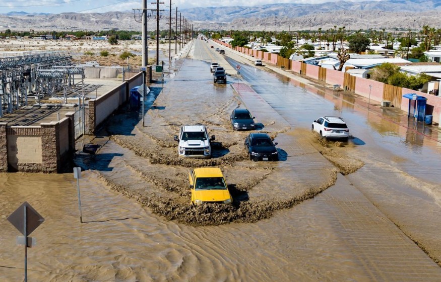
These rains will slowly consolidate and could later bring in from flash floods as well as powerful and damaging winds from parts of southeastern Mexico to western Cuba.
On the other hand, heavy squalls could also develop in nearby waters, which can bring threats to small water vessels.
From Monday to Tuesday evening, August 28 to August 29, these weather conditions are forecasted to deteriorate over the eastern Gulf of Mexico from the Florida Keys to much of the western coast of the Florida Peninsula and northward to some parts of the coastline of the Florida Panhandle.
Furthermore, there could be devastating winds, storm surge and floods because of torrential rains in some parts of the Florida Peninsula and in some areas of the Florida mainland from Tuesday to Wednesday.
Residents living along the Gulf Coast of Florida to the Alabama Panhandle should review their preparation due to a huge possibility of a tropical system landfall from Tuesday night to early Wednesday.
According to meteorologist Eddie Walker, rain may start to fall in areas of inland flooding in low-lying areas beginning as early as Tuesday in central and northern Florida.
Weather experts mentioned that the evolution of these powerful winds, wave movement, storm surge, as well as the heavy rains would depend on the intensity, track, and movement of the tropical system.
Related Article : Severe Weather Threatens Florida with 7-Inch Heavy Rains, Floods, Hail
© 2025 NatureWorldNews.com All rights reserved. Do not reproduce without permission.


