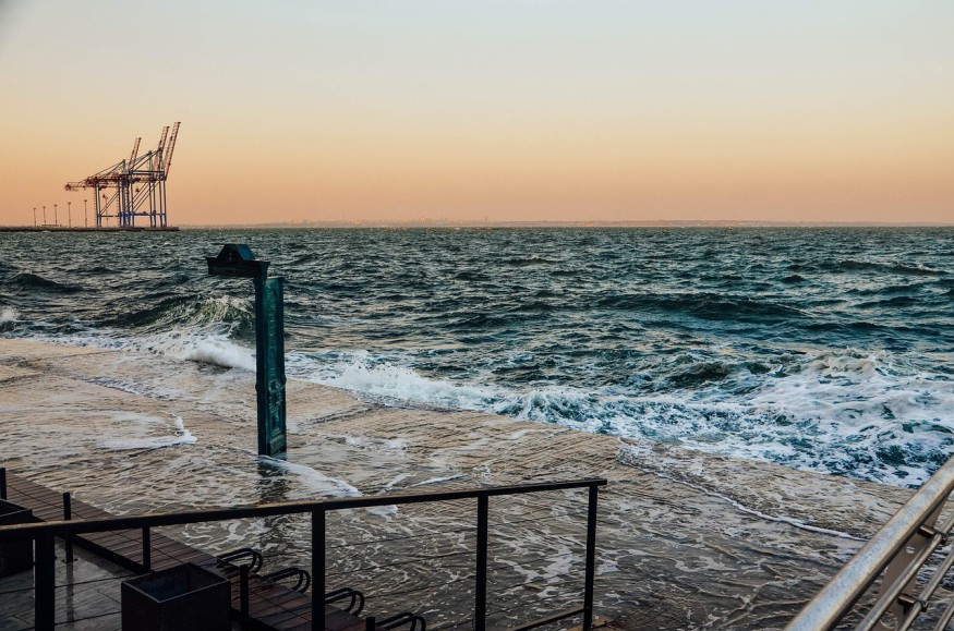
Tropical Storm Harold made landfall in south Texas at around noon on Tuesday, August 22, which could result in a widespread disruption in the coming hours. The major weather hazards for the state and potentially its surrounding areas are flooding due to heavy rain, coastal erosion, and strong winds.
Power outages are also possible, as well as disruption to businesses and local travel and life-threatening risks caused by the said hazards.
The arrival of Harold in the U.S. comes after it formed over the Gulf of Mexico overnight on Monday, August 21. The National Weather Service earlier on Tuesday previously warned that the said storm will hit south Texas and bring heavy rain and gusty winds, as well as produce flash flooding and urban flooding.
The weather service also warned of tropical storm conditions, coastal flooding, and multiple tornadoes across the state.
Tropical Storm Harold

In its short-range forecast, the NWS Weather Prediction Center previously stated Tropical Storm Harold was located in the western Gulf of Mexico and is expected move further westward into south Texas, bringing rainfall amounts from 3 to 5 inches, with 7 inches being the maximum.
The U.S. weather agency adds Harold could continue to impact the region until early Wednesday, August 23, where it will produce scattered areas of flash flooding. Furthermore, tropical storm force winds will be accompanying the weather system as it progresses further inland, in addition to the rough surf conditions along the coast.
By Thursday, August 24, the agency said Harold and its remnant moisture could move into northern Mexico and the Southwest U.S. or southern Rockies, leading to flash flooding concerns, especially near the flood-prone canyon in Utah.
Also Read: Eastern Pacific Hurricane: Tropical Storm Kay Expected to Hit Mexico, Southwest US This Week
South Texas Storm Landfall
According to the National Hurricane Center (NHC), flash flooding with potential landslides in mountainous areas in Mexico is anticipated through Wednesday, including a portion of northern Coahuila and northern Nuevo Leon. Moreover, the NHC emphasized that coastal flooding is a major threat along the south Texas coast, in addition to the tropical storm conditions.
Tropical storm warnings and watches remain in effect near the Texas coast, in areas that include Corpus Christi and South Padre Island. Low-lying areas and communities near the coast are at risk of flooding, according to meteorologists.
Latest weather forecasts indicate Harold will weaken as it further moves inland and this means that it is unlikely to develop into a hurricane in the coming days.
The U.S. is currently halfway on its Atlantic hurricane season which started on June 1 and will last until November 30. During this period, further tropical disturbances could develop into tropical storms, hurricanes, or even major hurricanes.
In 2022, Hurricane Ian struck Florida and its surrounding states from late September to early October, resulting in more than 100 deaths. It is also the strongest hurricane to make landfall in the Sunshine State since Hurricane Michael in 2018.
© 2025 NatureWorldNews.com All rights reserved. Do not reproduce without permission.


