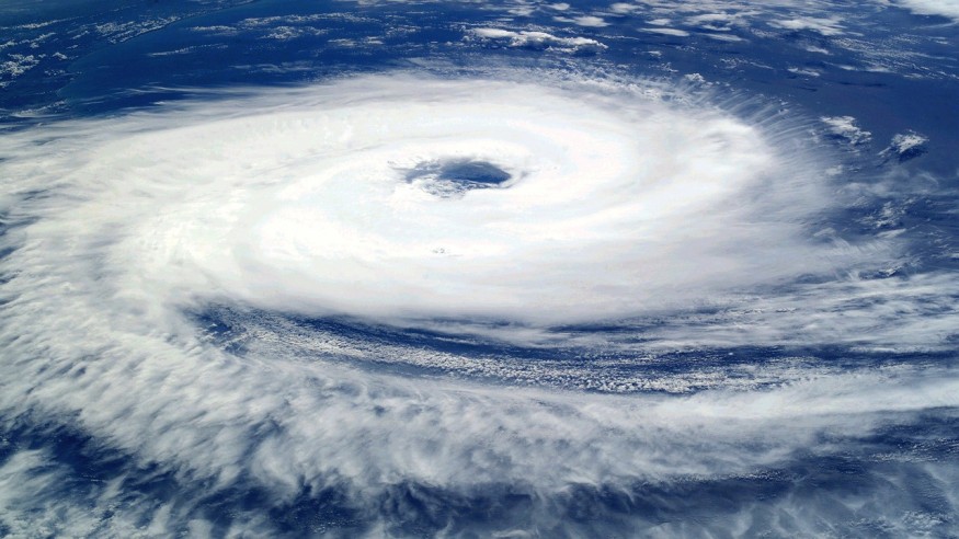
A tropical system is brewing over the Atlantic Ocean and it has the potential to form into a more organized weather or storm system in the coming days, according to recent forecast.
This developing system is significant since there have been no recorded tropical storms or depressions in the Atlantic since late June, at least after Tropical Storm Cindy.
There are no expected weather hazards, related to the looming system, to mainland North America yet, including the East Coast of the United States.
However, there is a potential for rainfall events and damaging winds linked to the potential Atlantic storm.
This U.S. weather forecast comes after the Atlantic Ocean remained still for several weeks due to a dust cloud from the Sahara, according to reports.
The lurking weather system develops as the U.S. is experiencing a coast-to-coast heat dome, which has spiked temperatures in the southern half of the country and other regions.
This comes as the nation is more than a month on its 2023 summer season, wherein temperatures are expected to peak by August or September based on U.S. heatwave events in recent years.
Atlantic Tropical System

According to AccuWeather meteorologists, they are monitoring an area located over 800 miles east of the island territory of Bermuda as of Thursday morning, July 13.
The weather forecasting company's meteorological team highlighted that showers and thunderstorms associated with the disturbance are still disorganized.
It shows no signs of evident spinning, a characteristic common to storms and hurricanes.
Meteorologist Alex DaSilva from AccuWeather stated there is a "medium" chance for tropical development to take place in the region until Saturday, July 15.
This can only be possible if warm water and light winds in the area further contribute to the system's development
Also Read: Cerberus Heatwave Threats Southern Europe
NWS Weather Forecast
Meanwhile, the National Weather Service (NWS) also confirmed there is low-pressure area approximately 900 miles east of Bermuda but it added that it is producing gale-force winds, as well as disorganized showers and thunderstorms.
The NWS further noted that recent satellite images of the system do not indicate a "well-defined low-level center."
This means that there is no strong grip at the center or any part of the weather anomaly.
As of 2:00 p.m. EDT (local time) on Thursday, the system is currently over the central Atlantic Ocean and it is expected to move in a northward pattern by the weekend.
U.S. Heatwave Alert
While a potential Atlantic storm is possible off the Eastern Seaboard, other parts of the country is dealing with scorching temperatures amid the summer season.
Heatwave alerts are affecting more than 100 million Americans across the U.S., especially across the Southwest, according to The Washington Post.
The prolonged heatwave has stretched in a long area from California to South Florida as of Wednesday, July 12. Forecasters are expecting it to worsen in southwestern states in the coming days, Reuters reported.
Related Article: Perfect, Supercharging Storm Brewing This Summer, Expert Warns
© 2025 NatureWorldNews.com All rights reserved. Do not reproduce without permission.


