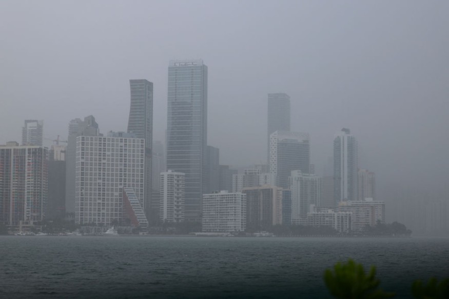
Unsettled weather systems and developing tropical low are heading toward the Pacific Northwest and Gulf of Mexico, according to the National Weather Service (NWS). In the Northwest, the series of systems will bring heavy precipitation in the form of torrential rain, mountain snow, and high winds. In the Gulf Coast, the low could lead to flooding rain even into the Southeast until later this week.
The latest US weather forecast comes after the central and southern parts of the United States were struck by severe thunderstorms with deadly tornadoes between late March and early April. Affected states with multiple casualties, include Mississippi, Georgia, and Arkansas. Meteorologists expect similar weather events to continue throughout the spring season until the end of May.
US Weather Forecast

The Weather Prediction Center (WPC) in College Park, Maryland, on Monday, April 10, issued yet another short-range forecast regarding the persistence of renewed storm systems in the Pacific Northwest and Gulf of Mexico, as well as the continuance of wintry conditions in the eastern, southern, and central parts of Alaska.
The NWS - WPC US weather forecast highlights the occurrence of onshore flow and a front that will generate rain over the parts of the Northwest with low amount of snow levels. Meanwhile, similar onshore flow will produce showers and thunderstorms over Florida.
The WPC adds there is a slight risk of severe thunderstorms over areas of the central and southern Great Plains.
Also Read: US Weather Forecast: New Pacific Storm Arriving in California, Severe Thunderstorms in Southeast
Unsettled Weather Systems
As mentioned earlier, different weather systems are hovering in several US regions, where they can deviate or integrate with each other, as seen from reports in recent months.
Currently, cold high pressure over the Mid-Atlantic region will pave the way for temperatures to plummet below average, leading to the issuance of frost advisories over parts of the region into the Central Appalachians until Tuesday morning, April 11, according to the US weather agency.
On Tuesday, developing low or upper-level energy will settle over the Central Gulf Coast, bringing showers and storms in the western and central parts of the region until Wednesday evening, April 12.
Furthermore, the weather service specifies the onshore flow off the coast of the Pacific Northwest and the front moving onshore will bring rainfall over the region.
Summerlike Temperatures
In spite of the looming adverse weather in the mentioned regions, 200 million Americans in the rest of the country will enjoy summerlike temperatures this week, wherein temperatures could reach into the 70s and 80s during daytime hours, FOX Weather reported.
The warm weather is thanks to the developing dome of high pressure across the central and eastern US, which will allow warmer air to enter areas east of the Rocky Mountains.
The major warmup this week could be felt by people in the northern and central US as the country dwells deeper into the spring season, AccuWeather reported.
© 2025 NatureWorldNews.com All rights reserved. Do not reproduce without permission.


