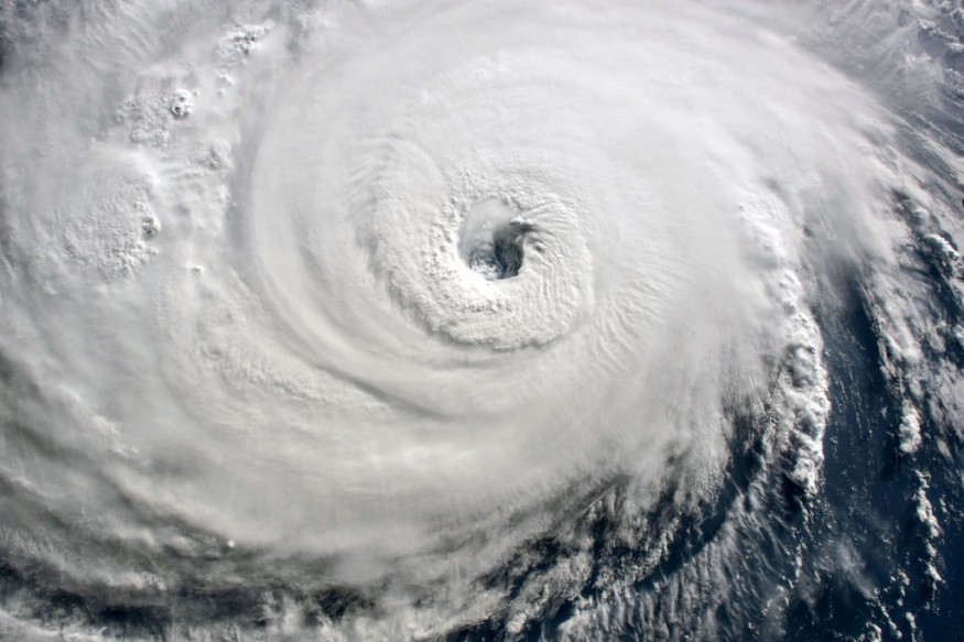
A tropical low could intensify into a tropical cyclone in Australia starting on Monday, April 10, bringing heavy rain and strong winds of up to 90 kilometers per hour (kpmh), according to the Bureau of Meteorology (BOM).
Tropical Cyclone Lisa will be the name of the storm should the said weather system strengthens in the coming hours and days, causing potential disruption to portions of northern Australia.
Flash flooding and power outages are possible upon the arrival of the looming storm.
The BOM said such cyclone intensification is possible even beyond Monday.
The low was reported hovering over the Arafura Sea, located north of the state of Northern Territory, and the Australian weather agency predicted it is likely to develop into a cyclone by Monday while it moves in a west-southwest pattern.
Australia Weather Forecast

In a media release on Saturday, April 8, the BOM warned the tropical low is expected to gain power over the following days as it moves on a general track parallel to the Kimberley coast.
The Australia weather forecast shows there is a significant risk for the system to become a severe tropical cyclone by Tuesday, April 11, particularly off the coast of west Kimberley.
Previously, the agency forecasted gales with wind gusts which could develop from Sunday night, April 9, in areas between Kalumburu and Kuri Bay.
Torrential rain and damaging winds are the greatest risk from the storm, which could also cause thunderstorm activity.
Severe Tropical Cyclone Warning
Based on latest updates as of Monday morning, the weather authorities warned residents and travelers in the north of the state of Western Australia due to the potential severe tropical cyclone, which is scheduled to be named later during the day, Australia's ABC News reported.
Hotspot areas at risk include sites from Cape Leveque to north of Broome, where a cyclone advice has been issued by authorities.
The system is expected to cross between the Australian towns of Broome and Port Hedland, according to the local news outlet.
Australia Cyclone Landfall
In a video report on Monday, The Weather Channel meteorologist Orelon Sidney said Tropical Cyclone Lisa could hit and make landfall in northwest Australia later this week.
Also called tropical cyclone eighteen, Sidney says the storm could bring extreme winds of over 100 miles per hour (mph) and heavy rainfall, as it is expected to make landfall on Wednesday, April 12.
The forecast is also based on the BOM outlook that the system can reach category-four level by Wednesday as it moves to the Pilbara coast.
However, this path of the storm is still not certain, as its intensity and movement could still change anytime with little or without warning.
The looming adverse weather for Western Australia is relatively uncommon, since the state mostly experiences hot weather with dry conditions compared to Queensland, New South Wales, and other parts of eastern Australia.
© 2025 NatureWorldNews.com All rights reserved. Do not reproduce without permission.


