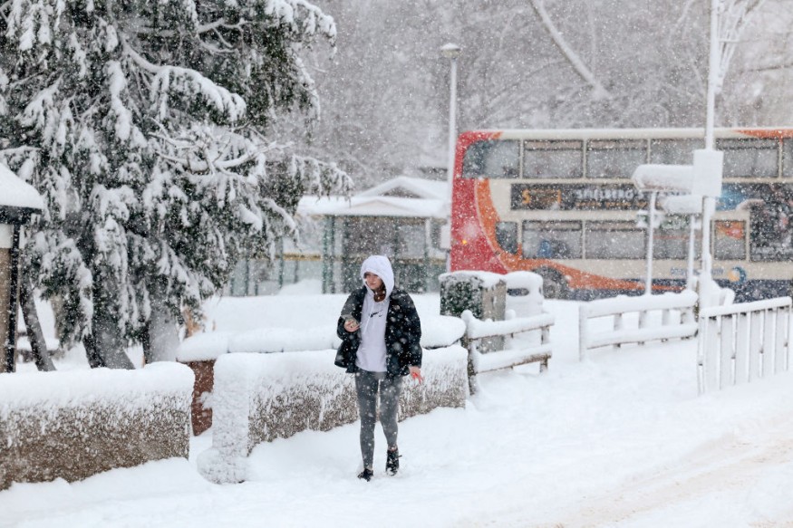
Sudden stratospheric warming (SSW) will arrive into the United Kingdom in the coming weeks. It will bring snow and blizzards, as well as relatively colder temperatures.
This is according to the latest UK weather forecast by the Meteorological Office (Met Office), the UK's national weather service, last week. However, the weather agency clarifies what is SSW and polar vortex snow and blizzard warnings.
Sudden Stratospheric Warming

The Met Office defines SSW as an event pertaining to the rapid warming that occurs in the stratosphere, and clarifies such warming can lead to changes in our weather on the surface, including colder temperatures.
In recent years, some extreme cold and winter snow events have been connected to the surface effects of SSW, including the events in 2009, 2010, 2013, and in 2018 wherein "the Beast from the East" transpired. The weather service explains why the phenomenon is called warming if it leads to cold conditions, just like the SSW forecast issued earlier February 2023.
SSW, in particular, refers to the warming up to about 50 degrees Celsius in just a matter of days in the stratosphere, located between 10 kilometers and 50 kilometers above the Earth's surface. This layer of the atmosphere is high enough that humans do not feel the said rapid warming, the UK weather agency explains.
The distance where SSW occurs and the surface makes it harder to observe in the first place. However, we can see its knock-on effect on the jet stream a few weeks later, which in turn affects our weather in the lower tier of the stratosphere.
UK Weather Forecast
There were unconfirmed reports that the SSW event could trigger the "worst snowfall in five years" as earlier as this week, but mild temperatures forecasted by the Met Office on Tuesday, February 21, across the UK and sunny spells in the east proves otherwise, as reported by the Independent.
After being asked about whether the so-called 'Beast from the East' cold snap could occur once again, the UK weather forecasting agency says the occurrence of such extreme cold is currently unlikely, but it cannot be ruled out later in the long-term period.
The UK media outlet cites maps and separate forecasts that show the first snowfall will occur on March 3 and lead to a 24-hour snow blitz in the North Sea. In addition, there is a growing threat of colder than average temperatures developing as the month progresses, based on the long-term forecast up to March 20 by the Met Office.
Meanwhile, the SSW and polar vortex disruption could also entail in colder weather for the Eastern United States as Arctic air outbreaks continue, causing different regions of Earth to experience significant cold air, according to FOX Weather meteorologists.
If these phenomenon continues, the UK weather could experience 18 hours of snow as the massive blizzard is expected to hit the country in two weeks, according to Plymouth Herald news. Other regions in the Northern Hemisphere could also be affected, including Canada.
© 2025 NatureWorldNews.com All rights reserved. Do not reproduce without permission.


