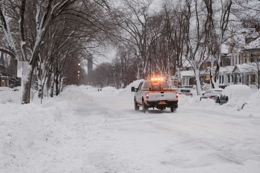
An Arctic cold front will cause intense frigid temperatures and dangerous wind chill across the Northern US, including areas in the Great Plains, Mississippi Valley, and Northwest United States, according to the National Weather Service (NWS).
The forecast comes as cold air mass from the Arctic region in the Northern Hemisphere travel southward, affecting not only the US but also parts of Canada.
NWS Arctic Cold Front Forecast

The Arctic cold front will bring heavy snow over parts of the Great Lakes and cause pockets of rain or freezing rain in areas from the Southern Plains to the Great Lakes region, according a short-range forecast on Saturday, January 28, from the Weather Prediction Center (WPC), which is under the NWS.
The NWS forecast suggests a wave of low pressure above the Middle Mississippi Valley will traverse in a northeastward pattern off the coast of Northern New England Coast by Monday evening, January 30.
North of the system, snow will develop in the valley overnight from Saturday evening to Sunday morning, January 29.
On Sunday, the WPC says light to moderate snow will occur over parts of Northern New England and northern New York state.
Meanwhile, light snow will continue to manifest over the Great Lakes, causing potential Lake-effect snow from the region on the same day.
Dangerous Arctic Blast
FOX Forecast Center gave a term the Arctic cold front as a "dangerous Arctic blast," which is considered the coldest air of 2023, as of late January, across the Northern US.
A phenomenon called the "Alberta Clipper" will reportedly cause temperatures down to over 20 degrees below than normal for the Northern Plains and Upper Midwest, with wind chills well below zero, frostbite can start in several minutes.
FOX meteorologists says the arctic blast blanketing the northern tier of the US is producing "dangerously" cold weather, making the coldest temperatures since December to spread southward.
In addition, 25 to 40 degrees below average temperatures are forecasted on Sunday for the central-northern Plains and Midwest, with highs of over 30 degrees below average from Montana to western Kansas, the center added.
Furthermore, many communities in Iowa, Minnesota, Nebraska, and South Dakota could face similar plunging of temperatures in an already cold territory.
The US is currently in its winter season, which spans from December to February each year.
What is an Arctic Cold Front?
Arctic cold fronts are boundaries between Arctic and polar air masses.
This boundary is based on the process involving Arctic air mass forming when the air above a snow- or ice-covered surface cools down due to the very low solar heating and strong heat emission from the surface.
The Colorado State University stated that "Arctic Fronts" transpires frequently over the Arctic Sea, sometimes over the Scandinavia region and even as far south as the North Sea.
The university describes an Arctic front that separates the cold polar air mass from the much colder air mass of the Arctic region.
© 2025 NatureWorldNews.com All rights reserved. Do not reproduce without permission.


