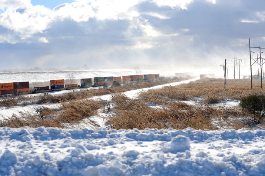
A raging winter storm is placing millions of Americans under wind chill alerts due to relative freezing temperatures and heavy snow on the way across the central and northwestern part of the US this week.
US weather authorities and meteorologists warned that Christmas holiday plans could be disrupted due to weather hazards brought by the lingering storm.
Hazardous Holiday Travel

The National Weather Service (NWS) reported on Tuesday, December 20, that several parts of the US will experience hazardous holiday travel ahead of Christmas due to the bitter cold, strong winds, and heavy snow.
This is because a cold front is moving through the northern Rockies, northern Plains, and upper Midwest by Wednesday, December 21, will bring heavy snow, snow squalls, and gusty winds in different areas.
Residents and travelers will also see a sharp drop in temperatures in the mentioned regions since the cold weather will spread through most parts of the country this while a powerful winter storm forms along the front.
In addition, blizzard conditions accompanied by heavy rain and strong winds are expected in the Midwest and to the East.
A short-range forecast of the NWS says heavy snow is likely across parts of the Pacific Northwest and northern Rockies by mid-week.
Meanwhile, the cold temperatures and dangerous wind chills over the northern Plains to surge southward into the central US through Thursday, December 22.
The US weather agency adds that a significant winter storm will develop in the Midwest on early Thursday, with thick snowfall rates and intense winds leading to blizzard conditions.
Rainfall ranging from moderate to intense is expected along the East Coast through Friday, December 23.
Winter Storm Watches
AccuWeather meteorologists issued a warning that the expansive snowstorm is also set to persist over the center of the country until the end of the week, jeopardizing holiday travel plans before the Christmas weekend.
The cross-country winter storm will affect approximately 112.7 million people which are expected to travel over 50 miles from home between December 23 and January 2, according to the American Automobile Association (AAA), as cited by AccuWeather.
The meteorologists said the storm started to bring the winter weather conditions across the Northwest on Monday night, December 19, with snow covering cities like Seattle and Spokane in Washington.
The storm will become more potent as it moves eastward into Wednesday, wherein the worst travel delays are expected in major hubs like Denver and Minneapolis, the US weather forecasting company said.
Bomb Cyclone
Meteorologists describe another name for the developing winter storm as a "bomb cyclone," which prompted weather alerts from the states of Washington to Maryland, covering 50 million people, based on the NWS, and the said number is expected to grow in the coming days, as cited by CNN.
In a nutshell, the looming storm will first make its impact in the Northwest and Central US before hitting the Eastern Seaboard, including the Northeast US later this week.
Meteorologists use the term bomb cyclone to described a rapid strengthening storm, which has also occurred in the US in previous years.
A burst of arctic air or arctic blast is responsible for the severe winter weather that is projected to affect 50 million people across the US this week, where aside from winter storm watches also include winter storm advisories and winter storm warnings, according to The Guardian.
© 2025 NatureWorldNews.com All rights reserved. Do not reproduce without permission.


