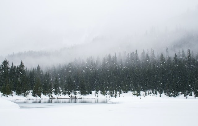
Later this week, subfreezing conditions are predicted for Chicago and Minneapolis.
AccuWeather meteorologists are monitoring a burst of Arctic air that may send temperatures plunging to record lows this season - a startling 20-30 degrees Fahrenheit below average - and give most of the central United States a taste of mid-winter cold.

Later this Week
In the latter part of this week, residents from Minneapolis through Chicago, St. Louis, and Oklahoma City might want to double-check their calendars when air much colder than what is "normal" for the middle of January envelops the region. According to AccuWeather's meteorologists, the coldest air is still on the way, although snow and freezing weather have arrived in several of these places this week.
According to AccuWeather Senior Meteorologist Joe Lundberg, "Many regions in the Plains and Midwest will have high temperatures 5-10 degrees or more below what a typical mid-January day would be."
For instance, AccuWeather analysts in Chicago predict that daytime highs will only reach the mid-20s on Friday, compared to a usual high of 31 on that day.
According to Lundberg, the last time Wichita, Kansas, saw a high of 32 or lower was on March 10. According to the most recent projection from AccuWeather, the city's high temperature on Friday will be somewhere around 32 degrees.
Cold Reaching the South
Even deeper south regions will resist Old Man Winter's early approach. Temperatures in Oklahoma City will end the week in the middle to the high 30s after a wintry blast of rain and snow earlier in the week. This is far lower than their upper 40s lowest winter average high. The Oklahoma Department of Transportation's cameras filmed snowfall Monday afternoon affecting traffic on I-40 south of the city, close to the Oklahoma-Texas state boundary. Elk City, Oklahoma, reported the most snowfall in the country on Monday; it measured 7.3 inches and gave the neighborhood high school football team a spectacular practice.
Widespread wind gusts of 20 to 35 mph will make the oncoming cold even more shocking by forcing locals to put on extra layers of clothing to remain warm while going about their everyday activities.
Friday's high and low temperatures in Minneapolis and Chicago are expected to be in the single digits. These readings may remain below zero for a chunk of the daylight hours in the northern Plains.
While clouds may obscure the view for many in the North Central states, those wishing to see the Leonid meteor shower from Thursday night to early Friday should bundle up before going outside.
Experts predict that more than a dozen records for the lowest maximum temperatures could be beaten on Friday, including those in St. Cloud, Minnesota; Kansas City, Missouri; Oklahoma City, Topeka; and Wichita, Kansas. This cold wave is expected to compare favorably to others during November. Some daily nighttime low records could also be in danger.
Lundberg believes that an area of high pressure that will be forming in Alaska over the coming days is what will cause the early-season cold blasts to invade the northern tier of the United States.
The coldest of these waves is expected for the end of the week, according to Lundberg, who noted that the wind flows around this high and brings many waves of cold air southward out of Canada and towards the nation's center.
Extended Forecast
By the weekend, the late-week cold wave will travel eastward, leaving people of the Northeastern region to suffer in temperatures similar to January. The biggest lake-effect snow storm of the season will likely have started throughout the Great Lakes by then as well.
Lundberg stated that a change in the predominant wind direction throughout the atmosphere might allow the intense chill to ease up by the Thanksgiving holiday next week for those who are not quite ready for a protracted visit from Old Man Winter.
Read also: Global Weirding: Humans Have Drastically Altered the Climate to the Point of Bringing Chaos
For similar news, don't forget to follow Nature World News!
© 2025 NatureWorldNews.com All rights reserved. Do not reproduce without permission.


